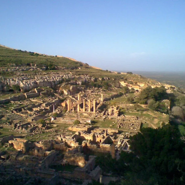
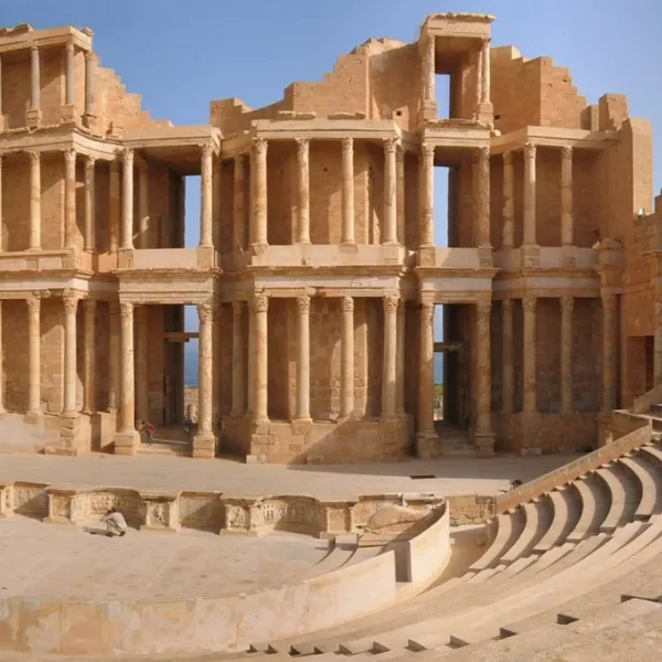
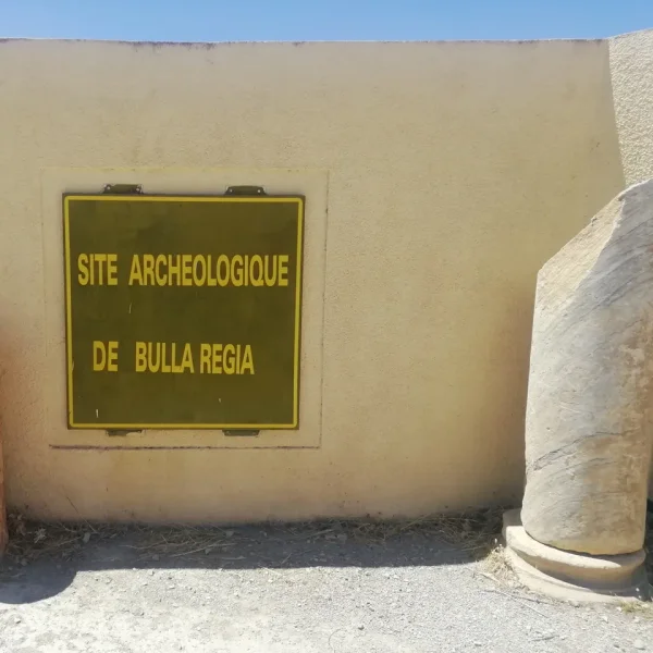
🏺5 Sitesc. 631 BCE – 647 CE
Roman North Africa
Roman North Africa
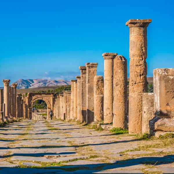
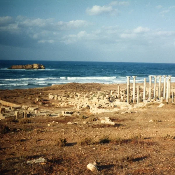
Five cities from Cyrenaica to Numidia — compare set + editorial guide.
Featured Sites in this Unit (5)
Modular, scholarly teaching units bridging ancient monuments, primary source stratigraphy, and interactive digital humanities tools for world history and archaeology educators.
Each modular pack includes verified site dossiers, comparative side-by-side matrices, seminar discussion questions, and copy-ready academic citations.
Roman North Africa
Five cities from Cyrenaica to Numidia — compare set + editorial guide.
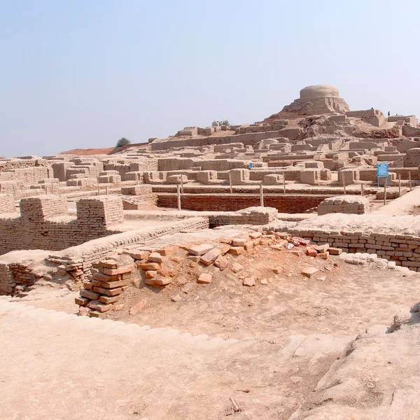
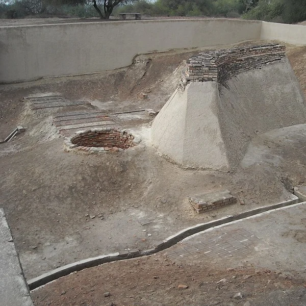
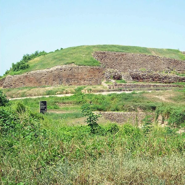
Indus Valley Civilisation
Mohenjo-daro, Harappa, and Dholavira — Bronze Age urbanism compare set.
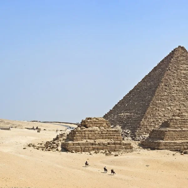
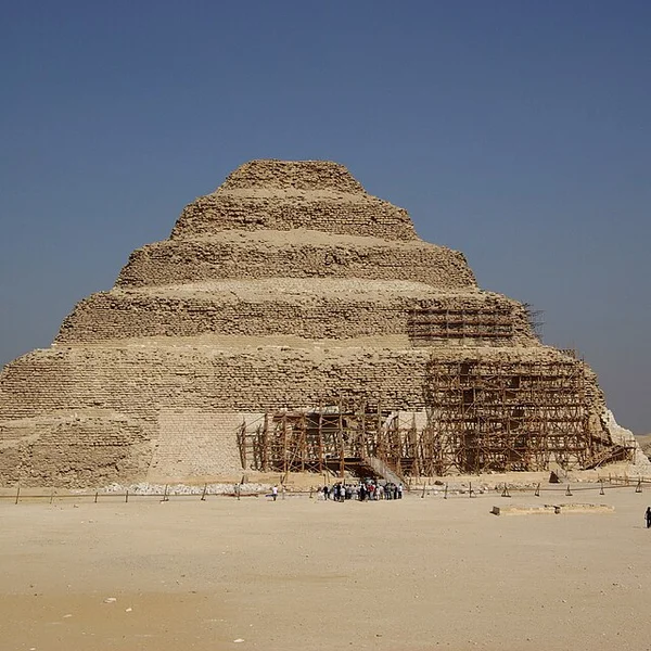
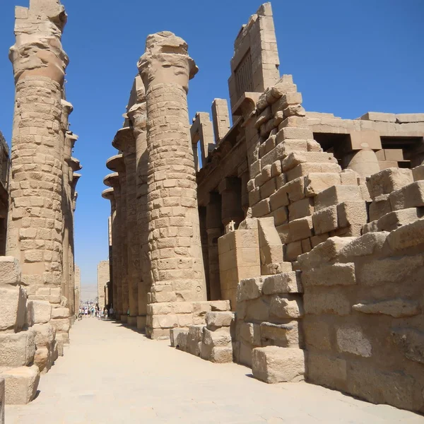
Ancient Egypt
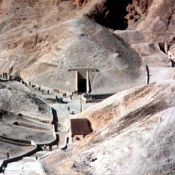
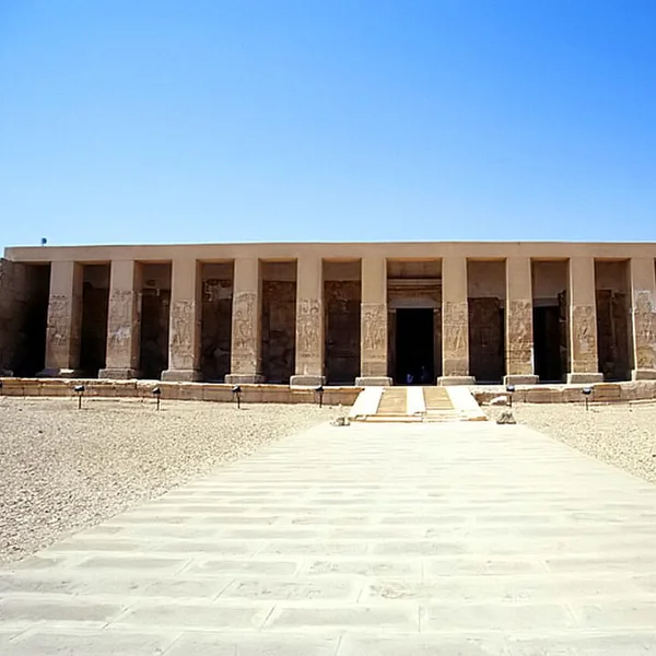
Giza, Saqqara, Karnak, Valley of the Kings, and Abydos — Old to New Kingdom monuments.
Designed specifically for educators seeking peer-reviewed archaeological accuracy over sensationalist headlines.
Teach students critical historiography: distinguish Klaus Schmidt’s excavations from pop-culture myths using confirmed, inferred, and debated evidence ratings.
Reject unilinear evolutionism: contrast Indus urban sanitation, Nile seasonal hydrology, and Roman provincial governance on parallel timelines.
Move beyond static textbooks: compare any two or five ancient sites side-by-side with coordinates, construction dates, and architectural typologies.
All dossiers, maps, and comparative sets are open access and free to cite, remix, or embed in student slide decks and lecture notes.
Integrate these free, interactive analytical tools directly into assignments, seminar presentations, and exams.
Compare construction dates, evidence ratings, coordinates, and verified fieldwork for any ancient sites.
Explore 354+ georeferenced archaeological sites with filterable civilization, era, and UNESCO layers.
Synchronized timelines tracing parallel developments from 10,000 BCE to late antiquity.
Explore direct relational edges between sites, material cultures, trade routes, and periods.
Answers regarding curriculum alignment, CC BY-SA 4.0 classroom licensing, and research reproducibility.
All data, text, and maps are licensed under CC BY-SA 4.0. Educators and students are free to copy, quote, and adapt these materials for lecture presentations, syllabi, homework, and research essays with attribution.