


Archaeological sites of the ancient world
Atlas Anatolia publishes evidence-rated dossiers for 309 excavated places. This hub is the reading path for the Archaeological Sites cluster: start with the two queries already earning search traction — Angkor Wat LiDAR and Göbekli Tepe excavations — then open the live map, compare tool, and UNESCO filter.
Priority dossiers
Angkor Wat LiDAR
Airborne laser scans in 2012 and 2015 mapped streets, house mounds, and barays under the Cambodian canopy — Greater Angkor, not only the stone temple.
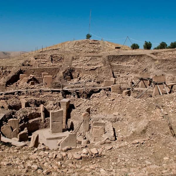
Göbekli Tepe archaeological excavations
From Klaus Schmidt’s DAI trenches to Necmi Karul’s 2026 northern sector: what excavation has established, and what remains a first impression.

More archaeological site guides
Göbekli Tepe site dossier
Coordinates, date range, evidence items, and sources for the Şanlıurfa sanctuary.
Angkor Wat site dossier
Temple metrics, Khmer chronology, and map context for the monument at the centre of Greater Angkor.
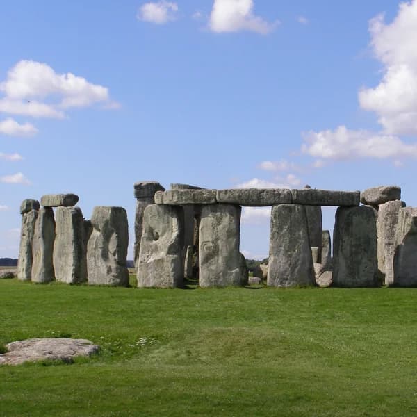
Göbekli Tepe vs Stonehenge
The age gap is real; the architecture is not the same kind of monument. Compare both on the map.
UNESCO archaeological sites map
World Heritage properties with archaeology-depth dossiers, not only inscription status.
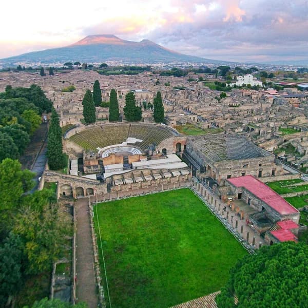
Pompeii
A Roman city frozen in 79 CE — excavation history is its own archaeological site story.
Browse all sites
Filter 309 published archaeological sites by continent, era, civilization, or UNESCO.
How Atlas rates a site
Each site page separates Confirmed field results from Inferred interpretation and Debated claims. That is the difference between a travel listicle and a research atlas: you can see which sentences rest on radiocarbon, architecture, or later storytelling.
Archaeological sites FAQ
What is Angkor Wat LiDAR?
Angkor Wat LiDAR refers to airborne laser surveys (notably 2012 and 2015) that mapped the ground under forest around Angkor Wat. They showed Greater Angkor as a vast low-density city of roads, canals, house mounds, and reservoirs — not a cluster of isolated temples. Read the full narrative at atlasanatolia.com/stories/lidar-and-the-lost-city-angkor.
Where can I follow Göbekli Tepe archaeological excavations?
Start with the excavation chronology at atlasanatolia.com/archaeological-sites/gobekli-tepe-excavations, then the site dossier at /site/gobekli-tepe. The 2026 northern-sector buildings are covered in the August 2026 story; walls that look like houses are still a first impression until floor samples are published.
How is an Atlas archaeological site different from Wikipedia?
Wikipedia is an encyclopedia. Atlas Anatolia is a map-first atlas: each site has coordinates, a date range, excavation notes, and evidence grades (confirmed, inferred, debated, reconstruction), plus a compare tool. Content is CC BY-SA 4.0.
Is there an interactive map of archaeological sites?
Yes. Open atlasanatolia.com/explore for the historical-map landing, or atlasanatolia.com for the live MapLibre atlas. Filter by era, civilization, country, or UNESCO.