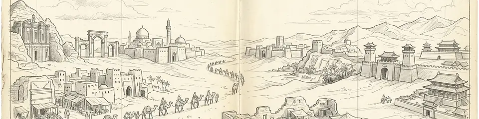
Ancient wealth was not only grown beside the Nile or the Yellow River. Across the world’s great deserts, merchants and kings built oasis cities that stored water, taxed caravans, and broadcast religion along corridors later nicknamed the Incense Road and the Silk Road.
This guide links ten Atlas Anatolia sites in two complementary batches. Use the Arabia compare set beside the Silk Road oasis set — then open the full ten-site compare for classroom assignments.
"Frankincense and silk bound deserts into corridors — caravans wrote cities into sand, and sand still writes their ruins."
— Editorial synthesis of Incense Road and Silk Road oasis archaeology
Southern Arabia: water, gods, and incense
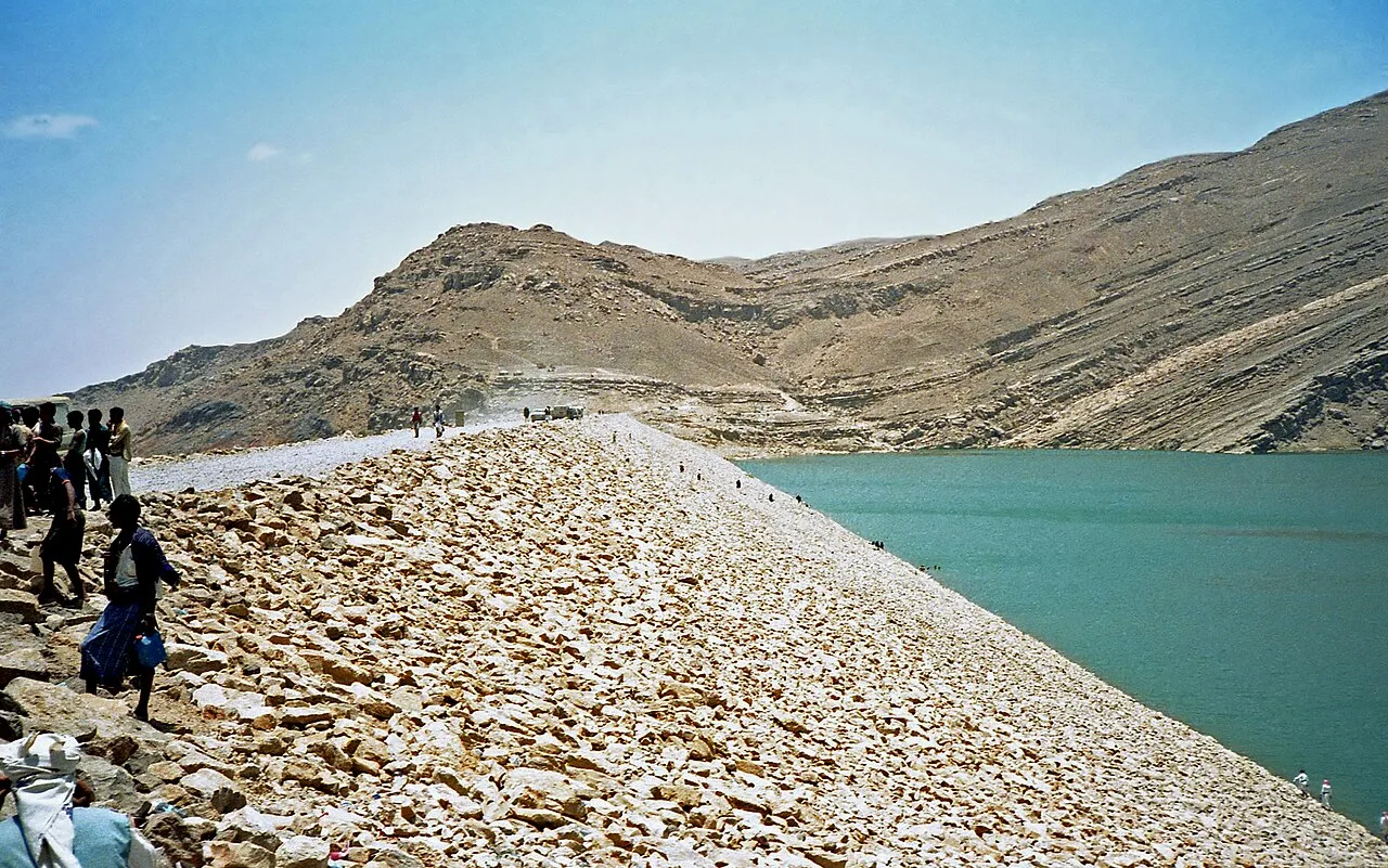
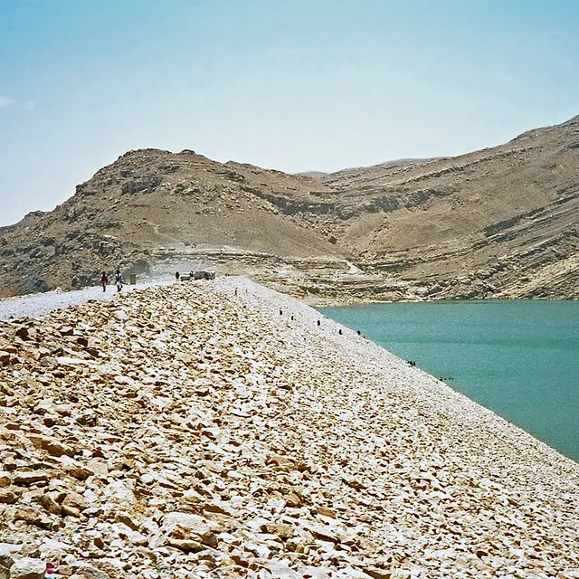
South Arabia’s prosperity rested on irrigated oases and the aromatics of frankincense and myrrh. At Marib Dam, Sabaean engineers diverted monsoon floods into canal networks that kept an oasis green for more than a thousand years. The dam’s later collapse entered Arabian historical memory as a civilisational turning point.
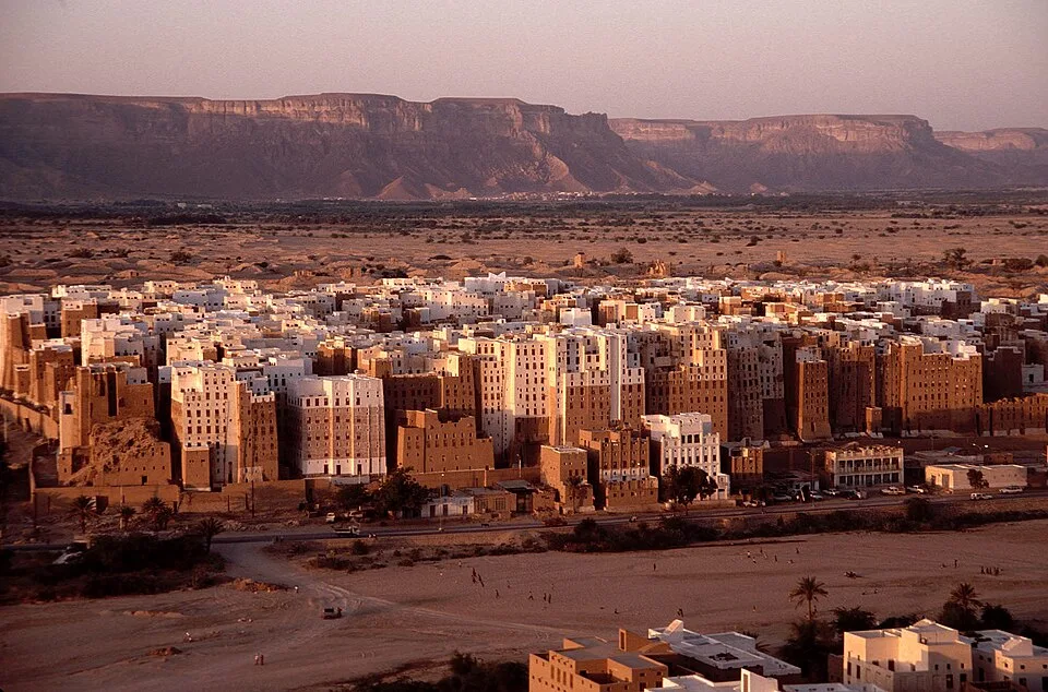
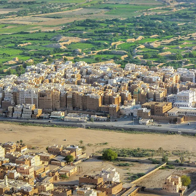
Shibam Wadi Hadhramaut Yemen | Jialiang Gao www.peace-on-earth.org dead link (CC BY-SA 3.0)
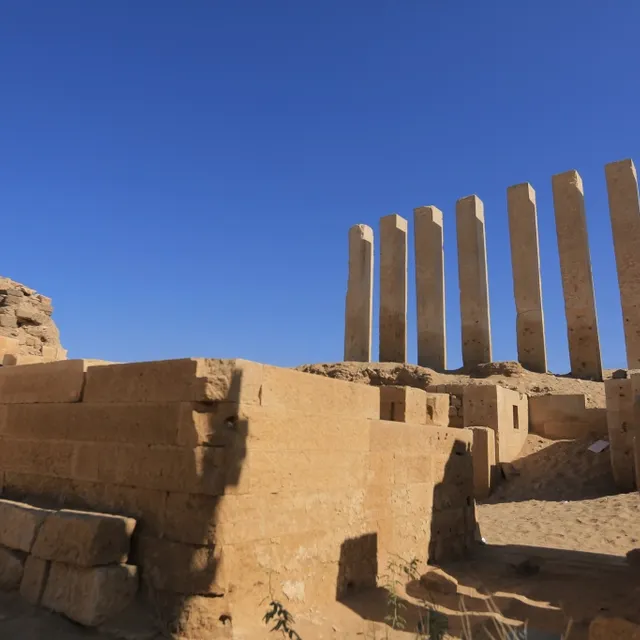
Near Marib, the Temple of Awwam (Mahram Bilqis) housed the cult of Almaqah — a pilgrimage and inscription archive for royal piety. Inland at Sirwah, fortifications and the inscription of Karibʾil Watar narrate early Sabaean expansion when highland seats still rivalled oasis capitals.
Marib dam | Bernard Gagnon (CC BY-SA 3.0)
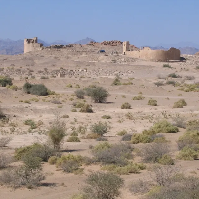
Further north, Qaryat al-Faw on the Empty Quarter’s edge shows what a desert caravan capital looked like under Kinda: frescoed houses, temples of Kahl, and Roman imports deep in Arabia. Later still, Shibam in Wadi Hadramawt perfected vertical mud-brick urbanism — the so-called “Manhattan of the Desert” — tying the Hadramawt to Indian Ocean diasporas.
!Shibam Hadhramaut, Yemen banner
Shibam Hadhramaut, Yemen banner | Shibam_Wadi_Hadhramaut_Yemen.jpg: Jialiang Gao www.peace-on-earth.org derivative work: JamesA (CC BY-SA 3.0)
The Silk Road’s desert cities
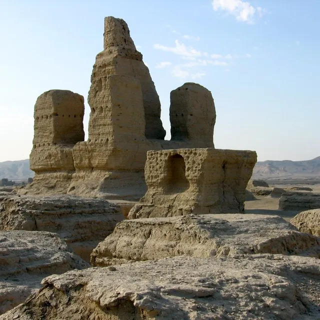
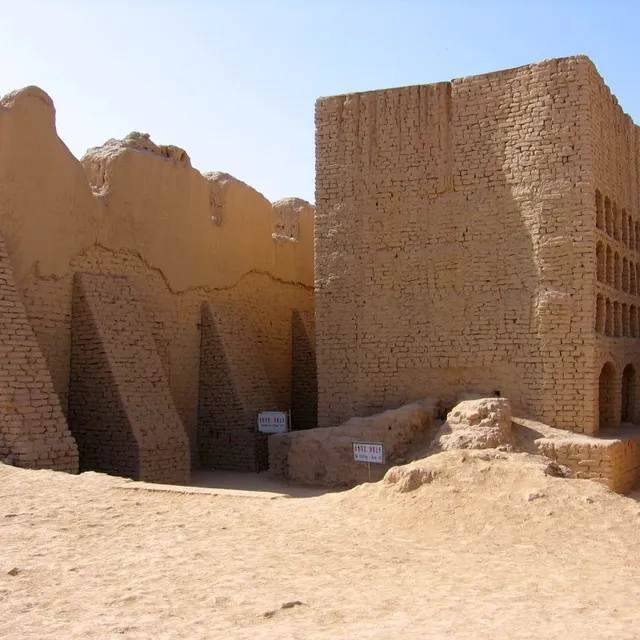
On the northern and southern skirts of the Taklamakan, and on the Murghab delta beyond, cities answered a related problem: how to sustain urban density where rainfall fails. Jiaohe carved a capital into a loess mesa west of Turpan; sprawling Gaochang later rose as Qocho, a Uyghur Buddhist (and Manichaean) metropolis with mud-brick walls still scanning the plain.
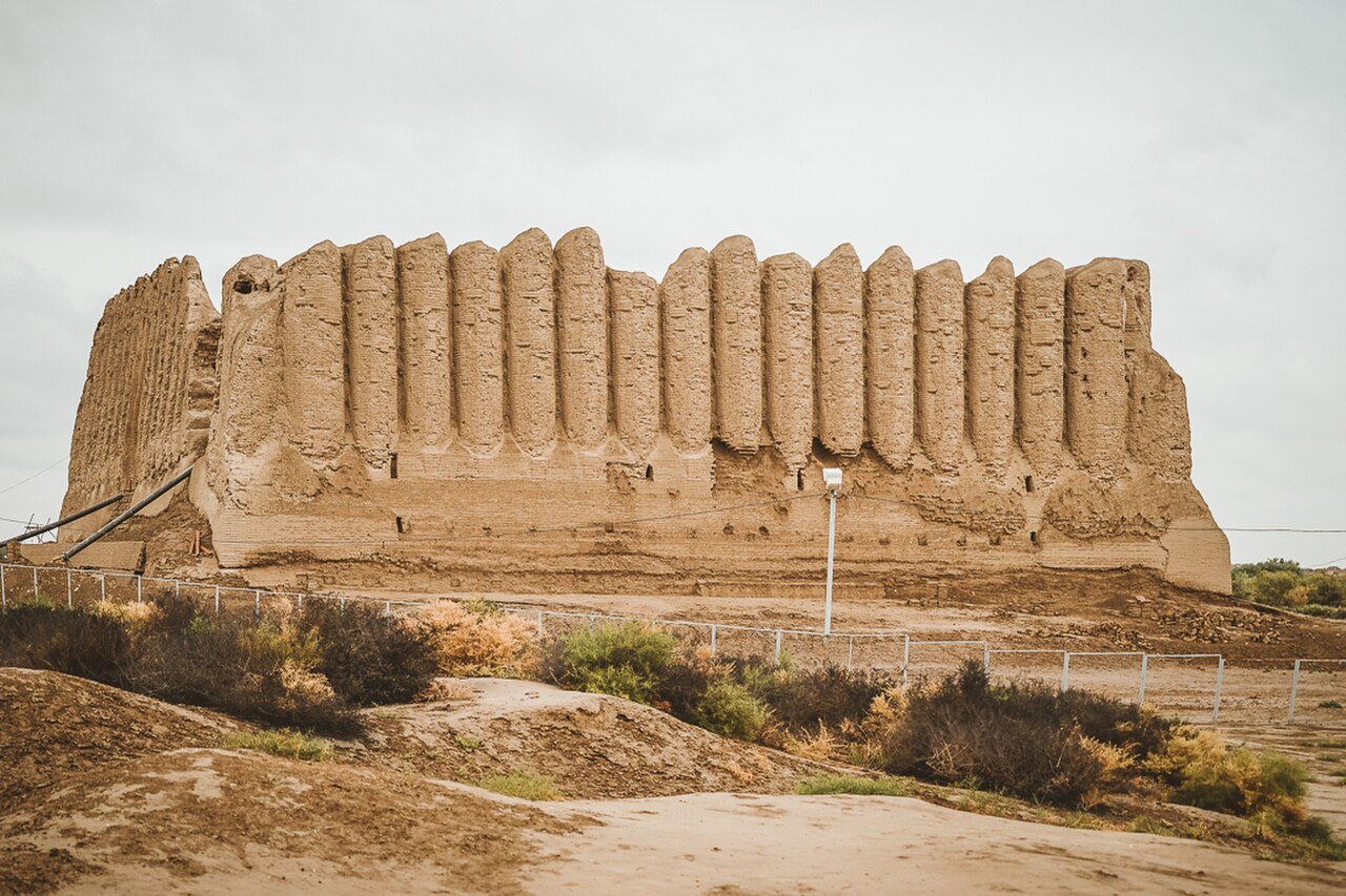
!Great Icehouse in Merv, Turkmenistan
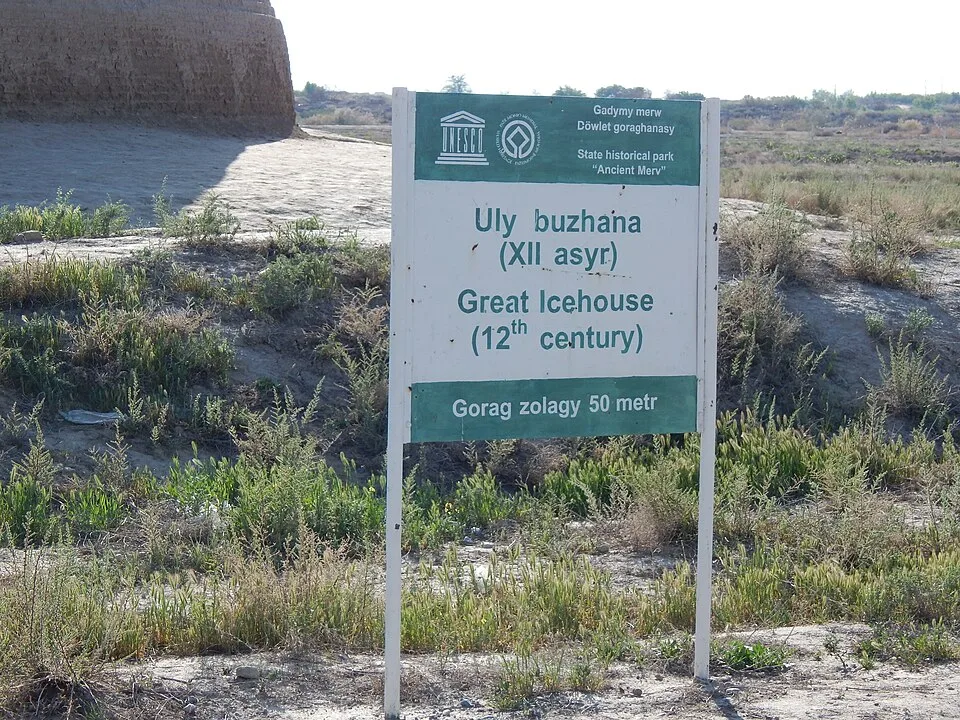
Great Icehouse in Merv, Turkmenistan | 13299achan (CC BY-SA 4.0)
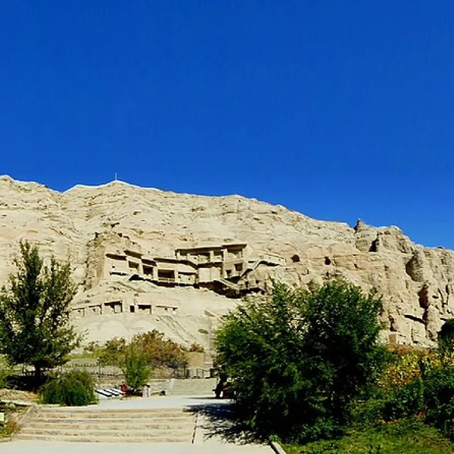
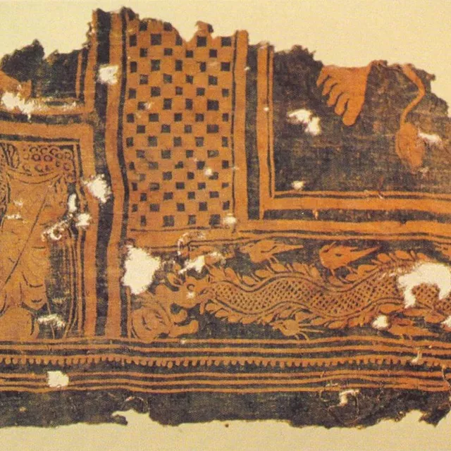
Monasteries, not only markets, defined the corridor. The Kizil Caves preserve early Silk Road Buddhist painting for the Tocharian-speaking kingdom of Kucha. Farther south, Niya left wooden houses and Kharoṣṭhī tablets under sand — bureaucracy of an oasis frozen in place. Westward, Ancient Merv stacked Hellenistic–Parthian–Sasanian–Islamic cities until the Mongol catastrophe of 1221 ended its medieval greatness.
Why compare these two arcs?
Both corridors forced the same adaptations: hydraulic control, fortification on scarce fertile strips, multilingual elites, and religions that travelled with cargo. Differences matter too — South Arabia’s monsoon diversion dams vs Central Asia’s qanat/canal deltas; Sabaean temple archives vs Tocharian–Uyghur grottoes; aromatic resins vs silk and paper.
Atlas Anatolia labels claims as Confirmed, Inferred, or Debated on each site page. Start with the dams and walls; then open evidence blocks before trusting legendary Queen of Sheba associations or precise population numbers for Merv.
Explore Hegra and Petra for Nabataean links on Arabia’s northern fringe, or the Chinese grotto timeline for Silk Road imperial context.
Last updated: July 2026
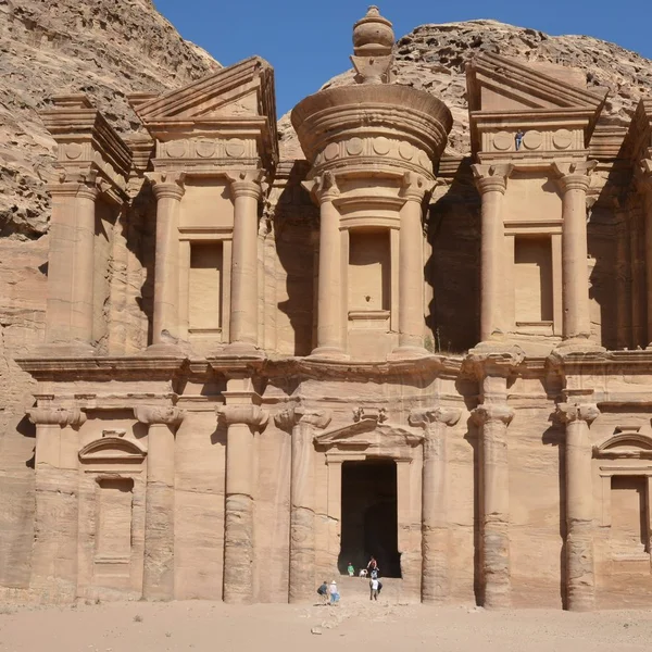
Jordan
Petra
Petra, the Nabataean capital from ~300 BCE to 700 CE, is famed for its rock-cut tombs and sophisticated water
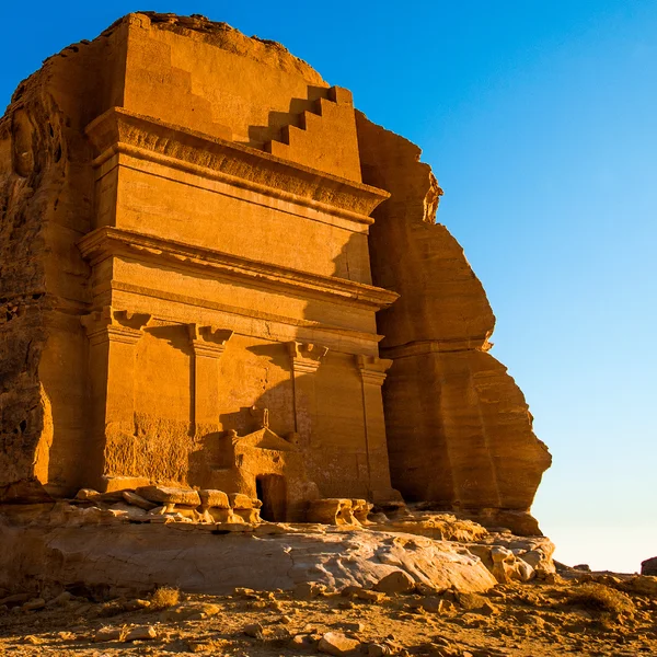
Saudi Arabia
Hegra
Ancient Nabatean city of Hegra, with 111 monumental tomb facades carved into sandstone outcrops, flourished as
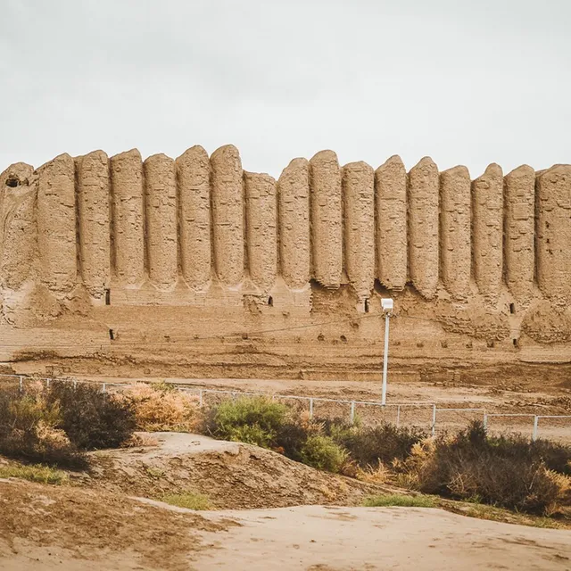
Turkmenistan
Ancient Merv
One of the greatest oasis cities of Central Asia — successive walled cities of Margiana on the Murghab delta i
Yemen
Shibam
A walled city of towering mud-brick tower houses in Yemen’s Wadi Hadramawt — often called the "Manhattan of th
Yemen
Great Dam of Marib
The monumental earthen and stone dam that irrigated the oasis of Marib, capital of the Sabaean kingdom in anci