Overview
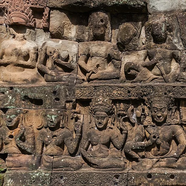
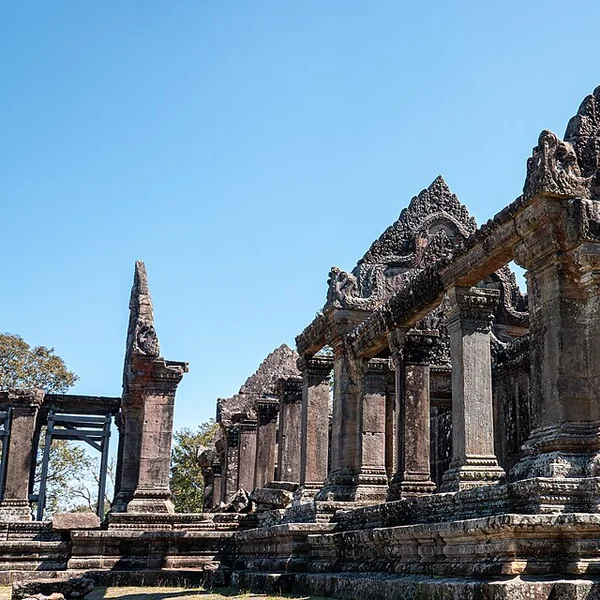
Wat Phou (Vat Phou) rises in terraces from the Mekong floodplain toward a sandstone cliff where a natural spring was worshipped as a linga of Shiva. Khmer rulers developed the site from about the 5th century CE; the extant barays, processional causeway, and sandstone sanctuaries date mainly to the 11th–13th centuries under Angkorian kings. The axis points the mountain, temple, and ancient city into one geomantic line—an early statement of Khmer sacred geography later monumentalised at Angkor.
French epigraphers and the École française d’Extrême-Orient recorded inscriptions naming Champasak’s polity. Late 20th- and 21st-century Lao–international conservation stabilised towers and mapped Shrestrapura’s earthworks south of the temple. Unlike crowded Angkor, Wat Phou still reads as a mountain pilgrimage: rice fields, baray reflections, and a climb to the spring shrine.
Pair with Angkor Wat and Preah Vihear for Khmer state temples outside Cambodia’s core, and for Laos’s otherwise thin archaeological footprint on world maps.