Quick Summary: Atlas Anatolia uses LiDAR data to map hidden ancient structures-like Guatemala’s 61,480 Maya features-but labels evidence carefully to avoid misidentifying ruins. It’s best for comparing sites (e.g., Göbekli Tepe’s UNESCO status) and spotting patterns (e.g., Caracol’s terraces) rather than proving claims. The tool flags uncertain data, making it useful for students or travelers but not a replacement for fieldwork. Its strength lies in separating mapped evidence from expert guesses, like distinguishing Hattusha’s temples from debated interpretations.
A LiDAR scan can strip away jungle cover and reveal roads, canals, terraces, and homes hidden from ground view. The challenge is turning those finds into clear archaeological sites locations. This review tests Atlas Anatolia as an Ancient Civilizations Map and Global Archaeology Atlas. It separates mapped evidence from expert guesses, checks real LiDAR cases, and shows where an Ancient Civilizations Map helps researchers, students, and travelers compare places and periods.
How LiDAR Changes an Ancient Civilizations Map
LiDAR sends laser pulses from aircraft and measures their return. It builds a detailed ground model, even under thick forest.
What the Laser Actually Reveals
It can expose mounds, terraces, canals, walls, and raised roads that trees hide. A major Guatemala survey mapped 2,144 square kilometres and identified 61,480 ancient structures, according to Science research.
- Shapes show possible human-made features.
- Height models show how features connect.
- Fieldwork tests what those shapes mean.
Why a Map Is Not a Discovery by Itself
A LiDAR mark is evidence, not proof of a temple or town. Erosion, farms, and modern tracks can look similar.
Treat each feature as a lead for survey, not a final claim.
Atlas Anatolia should label such entries by evidence level and link them to survey records.
Also Read: Latest News on Archaeological Excavations in 2026
Testing Atlas Anatolia for Archaeological Sites Locations
What Works in Everyday Use
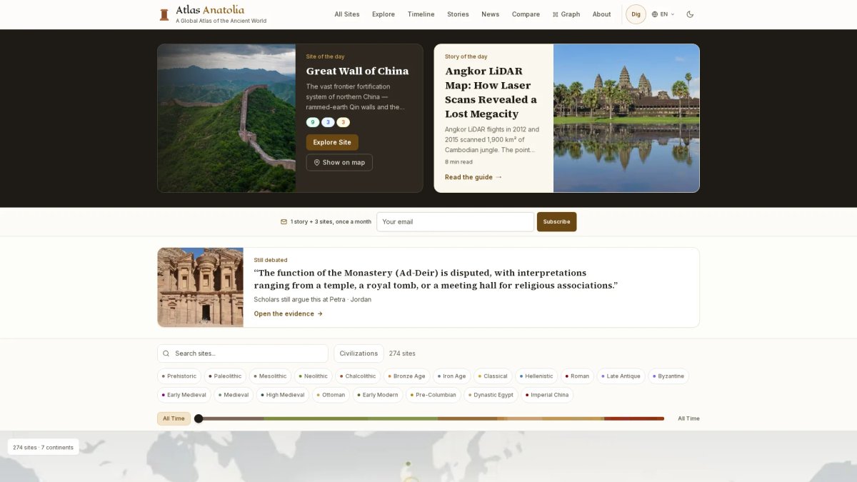
Atlas Anatolia works well for quick location checks before deeper research. Search a site, open its map point, then compare the period and place with a trusted record. For example, UNESCO places Göbekli Tepe in the Germuş mountains of south-eastern Anatolia, which makes a useful map check.
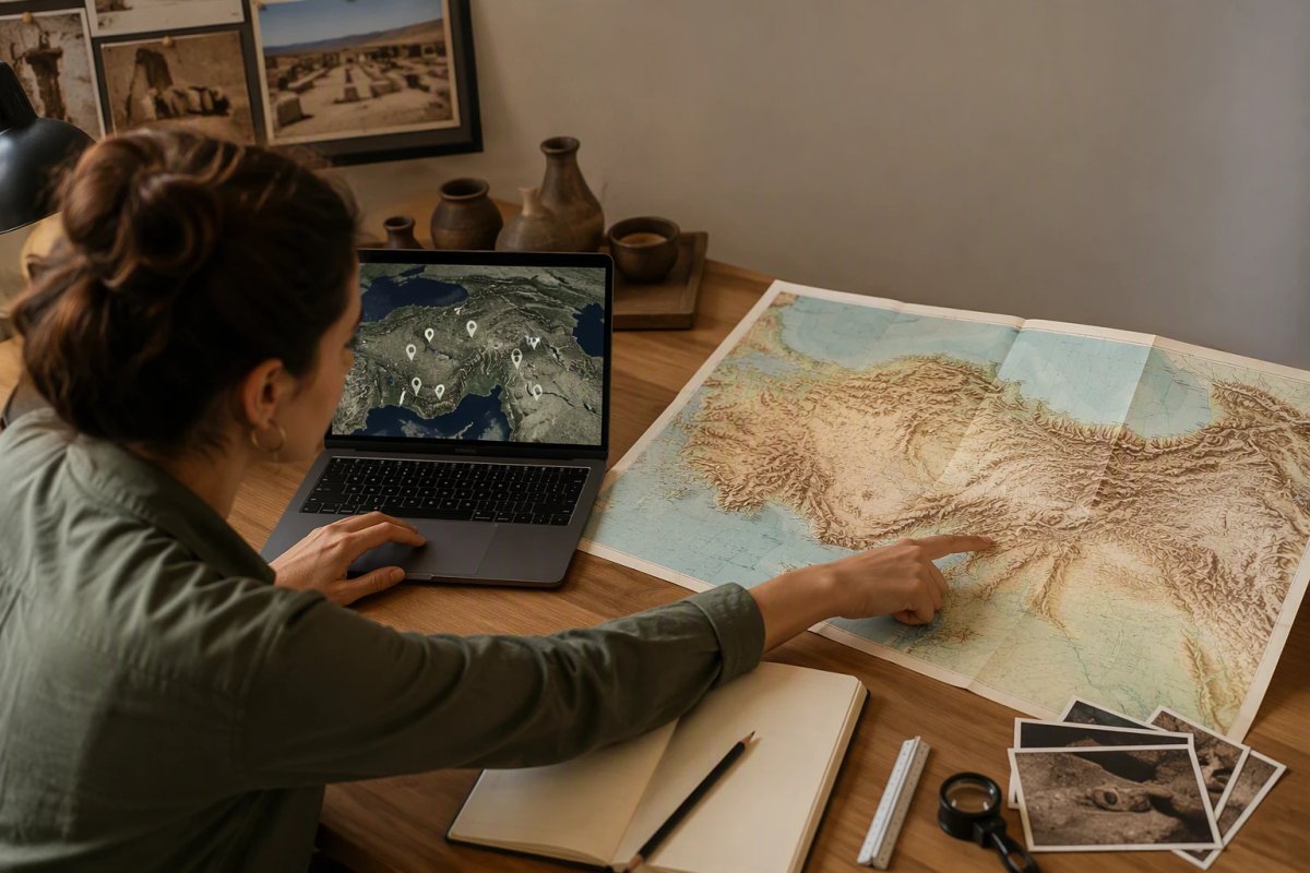
!Archaeology student cross-referencing digital and paper maps of Anatolia
- Test nearby sites at the same zoom level.
- Check whether the pin marks a site, city, or wider landscape.
- Save exact coordinates from primary records for fieldwork.
Evidence Labels Make the Atlas More Trustworthy
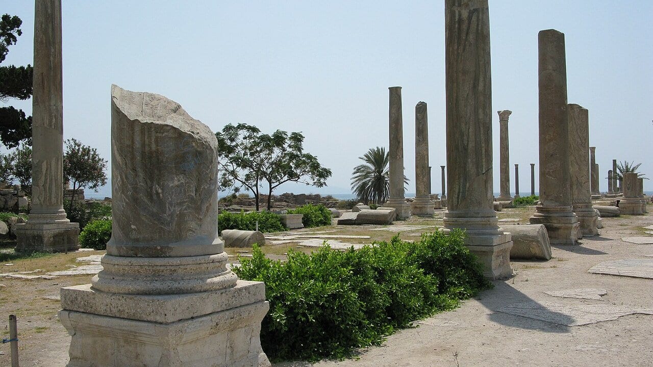
The evidence label is the best part of this atlas. It separates a mapped location from claims about its purpose or meaning. That matters at Hattusha, where UNESCO documents temples, gates, fortifications, and rock art, but interpretation still needs care.
| Check | Why it matters |
|---|---|
| Evidence rating | Shows confidence in the entry |
| Source trail | Lets you verify the claim |
Treat every pin as a starting point, not proof.
Also Read: Ancient Civilizations Compared: Egypt vs Mesopotamia
What the Atlas Helps You See-and What It Misses
From Monument Cluster to Urban Landscape
Atlas Anatolia helps you move beyond famous temples. Plot nearby roads, homes, terraces, and water works to see a working landscape. LiDAR at Caracol revealed settlement, causeways, and farm terraces beneath forest cover, not just a city center, as this research explains.
A mapped shape is evidence, not a final claim about purpose or date.
Maya Landscapes: Patterns, Not One Universal City Model
Use the atlas to compare patterns, not force every Maya site into one city type. Nixtun-Ch'ich' had a rare grid, while researchers say grids did not spread across the Maya world, according to University of Chicago research.
| Map clue | Safe reading |
|---|---|
| Dense mounds | Likely settlement concentration |
| Straight lines | Possible roads or planned space |
Also Read: Archäologie-News und Entdeckungsrunde | Atlas Anatolia
Is Atlas Anatolia Worth Using?
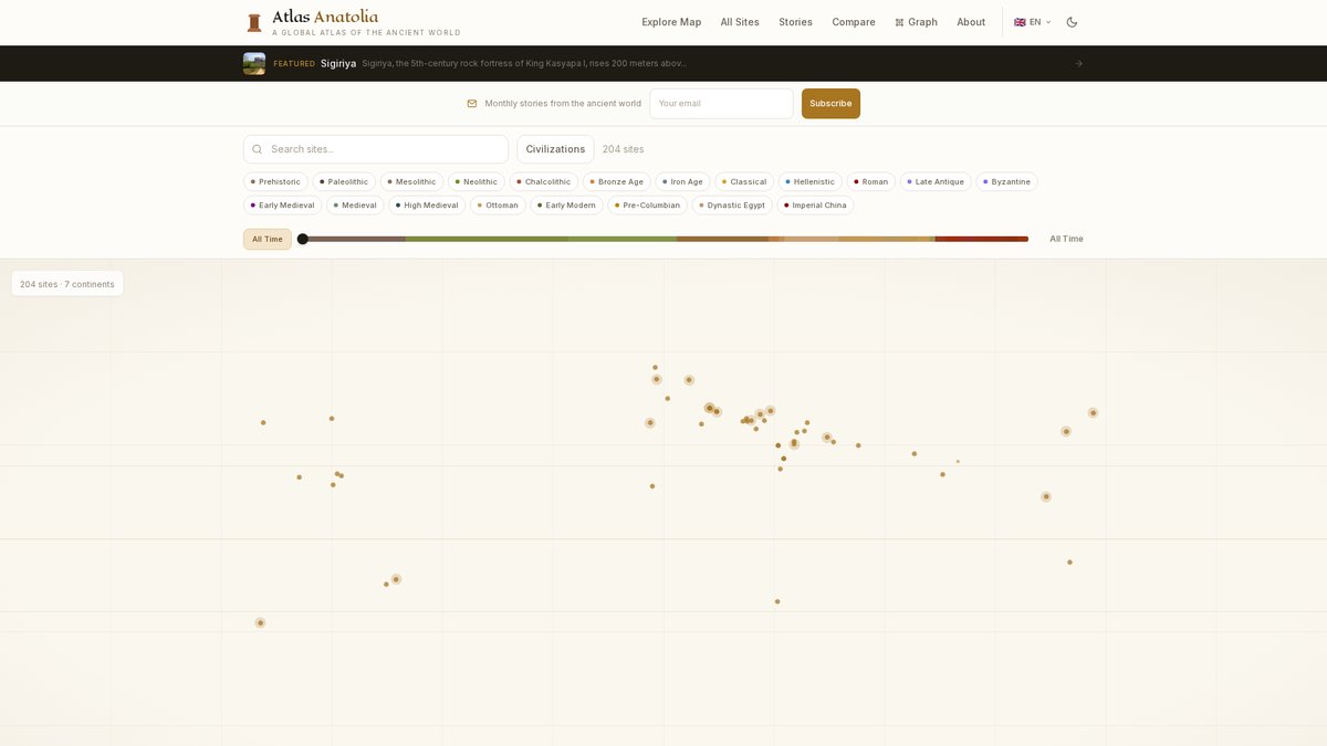
Yes, if you want a free map that shows what is known and what remains uncertain. Atlas Anatolia covers 319 published sites, with filters for era, culture, and continent. Its best feature is the clear split between confirmed, inferred, and debated evidence. See the interactive map’s feature list.
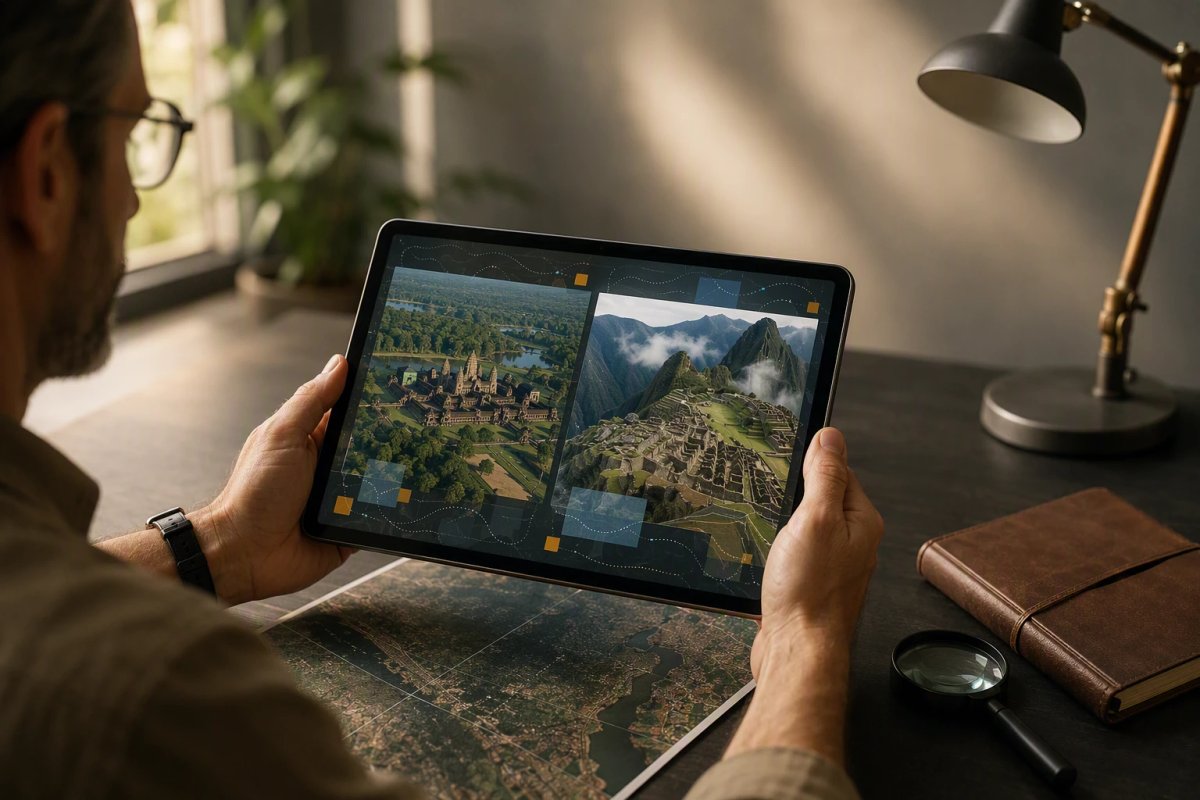
!Researcher cross-referencing Angkor Wat and Machu Picchu site data on tablet
Use it to:
- Compare sites for class or early research.
- Trace places across a timeline.
- Check sources before repeating a claim.
| Best for | Less suited for |
|---|---|
| Fast, evidence-aware exploration | Full academic database searches |
| Classroom comparison | Exact excavation records alone |
Treat it as a strong starting point, not the final word. Open the linked scholarly sources for serious research.
Map evidence with confidence. Explore sites, timelines, and evidence ratings in Atlas Anatolia for free.
Frequently Asked Questions
Q1: How does LiDAR technology uncover hidden ancient cities buried under dense forests?
LiDAR sends laser pulses through gaps in leaves, then measures ground height. Analysts remove vegetation data to reveal terraces, roads, walls, and building mounds.
Q2: What are the most significant archaeological discoveries made using modern mapping tech like LiDAR?
LiDAR has mapped vast Maya settlement networks, raised-field systems, and city layouts. It helps researchers see scale, but field checks still confirm dates and purpose.
Q3: Can Atlas Anatolia’s interactive atlas help locate lost ancient civilizations?
Atlas Anatolia helps users compare mapped sites, evidence ratings, and timelines. It cannot pinpoint unknown cities, but it supports informed research and travel planning.
Conclusion
Modern maps reveal patterns, not final answers. Use Atlas Anatolia to compare place, time, and evidence, then check interpretations against fieldwork. LiDAR research shows why mapped features still need ground verification.