
Aller au contenu
Atlas Anatolia
ActualitésIce Age teeth in Sulawesi push betel-nut use back as far as 25,000 yearsRoman mosaic and Eros head uncovered in the basilica at Pompeiopolis, Kastamonu
Tikal — Guatemala

Wikimedia Commons (CC BY-SA)

Country Record

Oldest City in Guatemala

CitéUNESCOEn vedette

Tikal

Seyfi Cem Baskin

400 av. J.-C. – 900 apr. J.-C.

Tikal, a preeminent Maya city in Guatemala, flourished from c. 400 BCE to 900 CE as a political, economic, and ceremonial hub, boasting towering temples and extensive urban infrastructure in the Petén rainforest.

322
Intérêt 78

Localisation

Petén Department · Petén Basin · Guatemala

17.22°N · 89.62°W · Amérique du Nord

Built

c. 400 BCE, with monumental phase c. 200–900 CE

Civilization

Maya

Discovered

Known locally; first recorded by Ambrosio Tut in 1848; scientific explorations from 1881 by Alfred Maudslay

Status

UNESCO World Heritage Site (1979)

Peak population

50,000–90,000

Key period

Classic period (c. 200–900 CE)

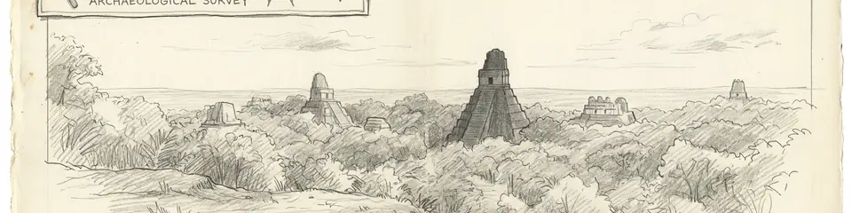
Graphite pencil sketch banner of Tikal

“Tikal represents the zenith of Classic Maya civilization, offering unparalleled insights into pre-Columbian urbanism, kingship, and environmental adaptation.”

Localisation

Aperçu

Introduction

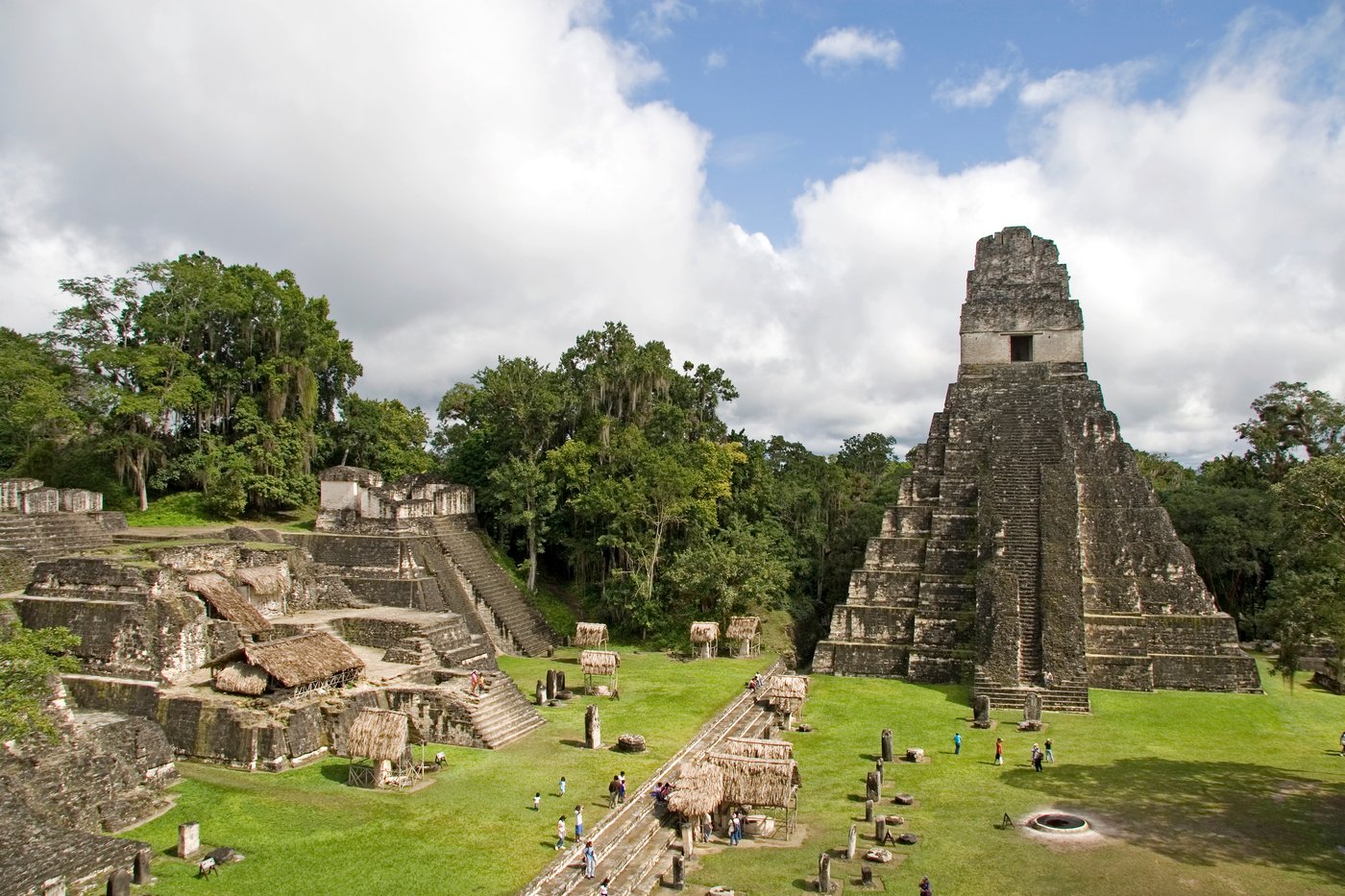
Tikal, located in the Department of El Petén, Guatemala, is one of the largest and most significant archaeological sites of the pre-Columbian Maya civilization. Emerging as a small village around 400 BCE, it grew into a dominant political center during the Classic period (c. 200–900 CE), with its monumental core covering approximately 16 square kilometers and a broader settlement area extending over 60 square kilometers. The site is renowned for its steep-sided pyramids, expansive plazas, and intricate stelae that provide critical insights into Maya history, religion, and sociopolitical dynamics.

Architecture and Urban Layout

The architectural grandeur of Tikal is epitomized by the Temple of the Great Jaguar (Temple I) and the Temple of the Masks (Temple II), both erected around 700 CE. These structures, along with the towering Temple IV at 70 meters, exemplify the Maya corbel arch and intricate stonework. The city was organized around a central acropolis, with causeways (sacbeob) linking major complexes. Advanced water management systems, including reservoirs and canals, sustained a population estimated between 50,000 and 90,000 at its peak. Recent LiDAR surveys have revealed extensive agricultural terraces and defensive fortifications, underscoring Tikal's sophisticated urban planning.
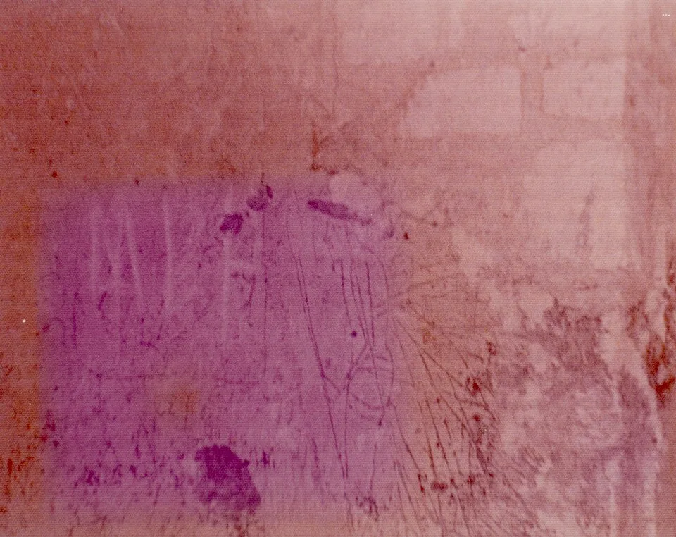
Tikal 1975 - Temple II Graffiti
Tikal 1975 - Temple II Graffiti | Infrogmation of New Orleans (CC BY-SA 4.0)
"It is the great city of which I had heard, lost in the forest these many ages. Pyramids rise above the trees, the work of a people of whom no man now living can speak."
— Modesto Méndez, Governor of Petén, on his 1848 expedition to Tikal

Political History

Tikal was a dominant force in the Maya lowlands, often locked in rivalry with Calakmul. Key rulers such as Yax Ehb' Xook (c. 90 CE) and Jasaw Chan K'awiil I (682–734 CE) expanded Tikal's influence through military conquests and strategic alliances, evidenced by stelae and hieroglyphic inscriptions. The city's power waned after a defeat by Calakmul in 562 CE, entering into a period of stagnation until a resurgence under Jasaw Chan K'awiil I. By the Terminal Classic (c. 800–900 CE), monumental construction ceased, and the city was gradually abandoned, mirroring the broader Maya collapse.
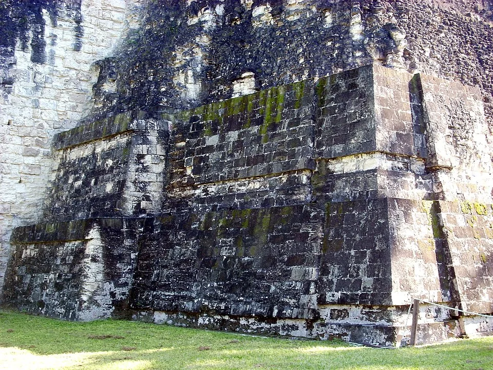
Tikal Temple I detail 01
Tikal Temple I detail 01 | Simon Burchell (CC BY-SA 3.0)

Collapse and Decline

The abandonment of Tikal around 900 CE remains a subject of intense study. Current evidence points to a convergence of factors: severe droughts, environmental degradation from overpopulation, warfare, and political instability. Isotope analysis of human remains indicates dietary stress, while pollen cores show deforestation. While no single cause is accepted, the collapse at Tikal exemplifies the complex interplay of ecological and social stressors that reshaped Maya civilization.

Modern Research

Modern investigations have transformed understanding of Tikal. The University of Pennsylvania’s Tikal Project (1956–1970) conducted extensive mapping and excavation, setting a standard for Maya archaeology. Since the 2000s, technologies like LiDAR have uncovered hidden features beneath the dense canopy, revealing a landscape more densely populated and engineered than previously thought. Ongoing conservation and Guatemalan-led research continue to probe the site’s chronology and its role in the broader Mesoamerican world, while UNESCO designation since 1979 ensures its protection.
Pourquoi c'est important

Tikal represents the zenith of Classic Maya civilization, offering unparalleled insights into pre-Columbian urbanism, kingship, and environmental adaptation. Its monumental architecture and written records illuminate a complex society that rivaled contemporaneous civilizations in the Old World, while its collapse serves as a poignant case study in the fragility of ancient states. As a UNESCO World Heritage Site, Tikal stands as a testament to human ingenuity and resilience in the tropical lowlands.

Preuves et interprétation

Distinguer ce qui est bien établi de ce qui reste débattu.

Faits bien établis

3
  • Tikal’s monumental core covers approximately 16 km², with over 3,000 structures documented.
  • The city had an extensive water management system with reservoirs that held up to 100,000 cubic meters of water.
  • Hieroglyphic texts at Tikal record a dynastic lineage spanning over 800 years, with the earliest known ruler Yax Ehb' Xook (c. 90 CE).

Inférences savantes

2
  • A severe drought, evidenced by sediment cores and oxygen isotope data from nearby lakes, contributed to Tikal's abandonment around 900 CE.
  • Defensive earthworks and LiDAR-revealed fortifications suggest that warfare was a persistent threat, particularly from Calakmul.

Interprétations débattues

2
  • The exact population size remains contested, with estimates ranging from 50,000 to over 100,000, depending on the density model used.
  • Whether Tikal's collapse was primarily driven by environmental factors or sociopolitical dynamics is still an open scholarly question.

Découverte et fouilles

1881–1882

Early mapping and documentation

Dirigé par Alfred Maudslay

Alfred Maudslay conducted the first systematic recording of monuments and architecture, clearing vegetation and producing detailed plans and photographs.

1915–1915

Photographic and epigraphic survey

Dirigé par Teoberto Maler

Teoberto Maler worked on documenting the inscriptions and stelae, providing critical epigraphic data for later decipherment.

1956–1970

University of Pennsylvania Tikal Project

Dirigé par Edwin M. Shook and William R. Coe

Large-scale mapping, excavation, and restoration of major structures like Temples I–V and the acropolis, revolutionizing understanding of Maya urbanism.

2010

Modern LiDAR and conservation

Dirigé par Guatemalan Ministry of Culture and international teams

Airborne LiDAR surveys revealed hidden agricultural features and promoted revised population estimates; ongoing Guatemalan conservation preserves the site as a national park.

Photos de la communauté

Partagez votre expérience

Avez-vous visité ce site ? Téléchargez vos photos pour aider les autres à le découvrir.

Récits liés

Comment citer cette page

Atlas Anatolia. (400). Tikal. Atlas Anatolia. https://atlasanatolia.com/fr/site/tikal

Contenu sous licence CC BY-SA 4.0 — attribution requise en cas de réutilisation.

Graphique

Connexions avec des sites et récits associés.

Sources

  • Coe, W. R. (1990), Tikal: A Handbook of the Ancient Maya Ruins — William R. Coe (1990)
  • Turner, B. L., & Sabloff, J. A. (2012), "Classic Period collapse of the Central Maya Lowlands: Insights about human–environment relationships for sustainability" — B. L. Turner & J. A. Sabloff (2012)
  • Carr, C., & Hazard, J. E. (1961), "Map of the Ruins of Tikal, El Peten, Guatemala" — C. Carr & J. E. Hazard (1961)
  • UNESCO World Heritage List: Tikal National ParkLien
  • Webster, D. (2002), The Fall of the Ancient Maya: Solving the Mystery of the Maya Collapse — David Webster (2002)

Questions fréquentes

Où se trouve Tikal ?

Tikal est situé à/en Petén Department, Petén Basin, Guatemala.

De quand date Tikal ?

Tikal remonte approximativement à 400 av. J.-C. – 900 apr. J.-C..

Quelles civilisations sont associées à Tikal ?

Tikal est associé à la civilisation Maya.

Pourquoi Tikal est-il important ?

Tikal represents the zenith of Classic Maya civilization, offering unparalleled insights into pre-Columbian urbanism, kingship, and environmental adaptation.

Tikal est-il inscrit au patrimoine mondial de l'UNESCO ?

Oui — Tikal est inscrit sur la liste du patrimoine mondial de l'UNESCO.