
Pular para o conteúdo
Atlas Anatolia
NotíciasIce Age teeth in Sulawesi push betel-nut use back as far as 25,000 yearsRoman mosaic and Eros head uncovered in the basilica at Pompeiopolis, Kastamonu
Lycian rock-cut tombs at Kaunos visible from Dalyan river

Wikimedia Commons (CC BY-SA)

Cidade

Kaunos

Seyfi Cem Baskin

900 a.C. – 400 d.C.

An ancient harbor city famous for its magnificent Lycian rock-cut tombs carved into cliff faces above the Dalyan River — one of the most iconic archaeological vistas in Turkey.

312
Interesse 50

Localização

Mugla · Aegean · Turquia

36.83°N · 28.62°E · Ásia

Rock Tombs

Lycian-style temple tombs (4th century BCE)

Cultural Border

At the boundary of ancient Caria and Lycia

Ancient Harbor

Now silted into Iztuzu Lake

Modern Protection

Dalyan Delta — Caretta caretta turtle sanctuary

Notable Finds

A 4th-century BCE honorific decree for the Carian dynast Mausolus, inscribed on a limestone block, found in the city center.

Dating Method

Ceramic and coin evidence from the acropolis indicates the earliest settlement phases date to the 9th century BCE.

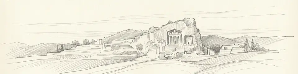
Graphite pencil sketch banner of Kaunos

“Kaunos sits at a cultural crossroads — neither fully Carian nor fully Lycian, it illustrates how ancient identities were fluid and negotiated rather than fixed.”

Da Wikipédia

Kaunos is an ancient city near Dalyan in southwestern Turkey, famous for its Lycian rock-cut tombs carved into cliffs above the Dalyan River.

Ler o artigo completo na Wikipédia →

Localização

Visão geral

Kaunos lies on the border between ancient Caria and Lycia, a position that gave the city a distinctive mixed cultural identity reflected in its art, architecture, and burial practices. The city was founded around the 9th century BCE and grew into an important harbor town controlling trade between the Aegean coast and the interior.

The most famous feature of Kaunos is the row of Lycian-style rock-cut temple tombs carved into the sheer cliff face overlooking the Dalyan River. These tombs, dating from the 4th century BCE, feature Ionic column facades and are visible from great distances — an enduring symbol of the ancient city's grandeur. Though the tomb style is Lycian, they were carved in Carian territory, reflecting the cultural hybridization that defined this borderland.

"Kaunos is a city of Caria, not far from the sea, with a harbor that can be closed."
— Strabo, Geography (c. 7 BCE - 23 CE)

The city preserves a well-defined urban plan including a theatre, Roman baths, a basilica, temples, and an agora. The ancient harbor — now silted up and transformed into Iztuzu Lake — was once a thriving port. Herodotus noted that the inhabitants of Kaunos, despite speaking a language related to Carian, considered themselves originally from Crete.

The surrounding landscape is remarkable: the Dalyan Delta is now a protected area for loggerhead sea turtles (Caretta caretta), and boat trips from Dalyan to the site pass through reed-lined channels with the tombs rising dramatically above.
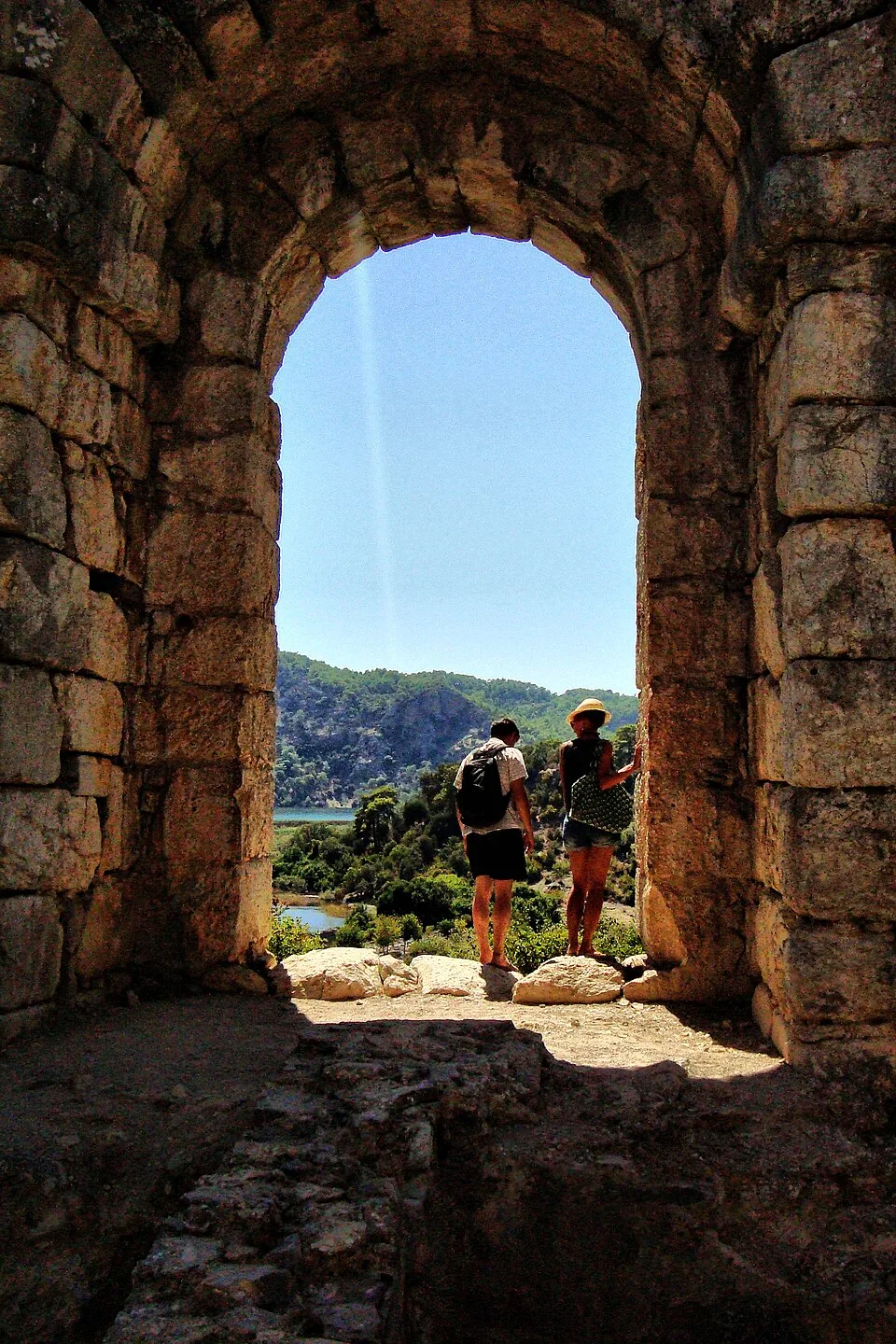
DALYAN-KAUNOS-TURKEY - panoramio
DALYAN-KAUNOS-TURKEY - panoramio | Haluk Comertel (CC BY 3.0)

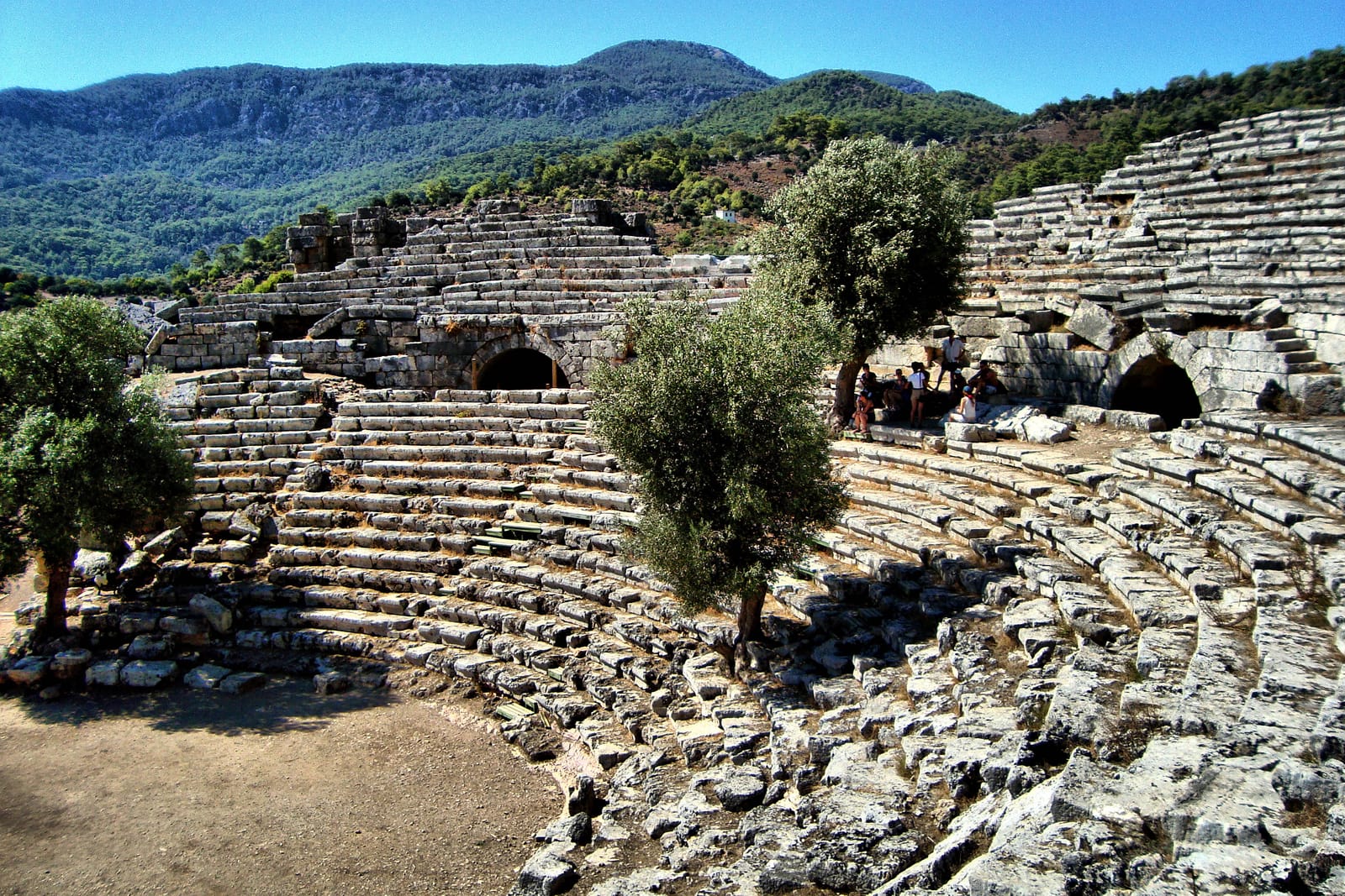
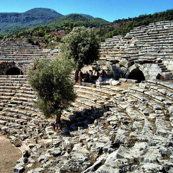
Beyond the iconic tombs, the city's urban fabric reveals its prosperity and cosmopolitan nature. Excavations have uncovered a well-preserved Hellenistic theater with a capacity for 5,000 spectators, a large agora flanked by stoas, and a monumental Roman bath complex. The city center was protected by a substantial Carian fortification wall, later expanded. Daily life is evidenced by finds of imported Attic pottery, local coinage, and inscriptions detailing civic decrees and trade regulations. Kaunos was a significant exporter of salt, dried fish, and figs, with trade links across the Aegean. Its decline was a protracted process. While the silting harbor crippled its maritime economy from the late Roman period, the city remained inhabited into the early Byzantine era, as shown by a basilica built within the former temple precinct. It was eventually abandoned, likely due to a combination of economic stagnation, malaria from the marshes, and shifting regional power centers.

Por que isso importa

Kaunos sits at a cultural crossroads — neither fully Carian nor fully Lycian, it illustrates how ancient identities were fluid and negotiated rather than fixed. The rock tombs blending Lycian architectural forms with Carian territory challenge simplistic ethnic boundaries in the ancient world. The site's environmental setting — where archaeology meets protected natural habitat — makes it a model for integrating cultural heritage with ecological conservation. The silted harbor vividly demonstrates how coastline changes over millennia can transform maritime cities into inland ruins.

Evidências e interpretação

Distinguir o que está bem estabelecido do que permanece em debate.

Fatos bem estabelecidos

3
  • Herodotus (Histories 1.172) describes the Kaunians as speaking a language distinct from Carian and claims they migrated from Crete.
  • The rock-cut tombs employ Lycian architectural forms (Ionic temple facades) despite Kaunos being geographically in Caria, evidencing cultural exchange.
  • The city's fortification walls, with Hellenistic masonry styles, were extensively rebuilt in the 3rd century BCE, as confirmed by stratigraphy and inscriptions.

Inferências acadêmicas

1
  • The silting of the harbor, which transformed the ancient coastline into an inland lake, likely contributed to the city's decline from the Roman period onward.

Interpretações debatidas

2
  • Whether the Kaunians spoke a unique language or a dialect of Carian, as Herodotus suggests, remains debated among linguists.
  • The function of the large, rectangular 'Palaestra' structure near the harbor is debated, with interpretations ranging from a gymnasium to a commercial agora or storage complex.

Descoberta e escavação

1966–1972

First systematic excavations

Dirigido por Baki Oguen

Baki Oguen began the first archaeological excavations at Kaunos, uncovering the theatre and harbour area.

1988–2020

Long-term Turkish excavations

Dirigido por Cengiz Isik

Cengiz Isik of Mugla University led sustained excavations revealing the agora, basilica, and defensive walls.

2004

Acropolis Temple Excavations

Dirigido por Prof. Dr. Cengiz Işık

Excavations on the acropolis uncovered the foundations of a Doric temple, likely dedicated to Apollo, and associated votive offerings.

2009

Harbour silting study

Geoarchaeological research documented the progressive silting of the ancient harbor over two millennia.

Fotos da comunidade

Compartilhe sua experiência

Você visitou este sítio? Envie suas fotos para ajudar outros a descobri-lo.

Como citar esta página

Atlas Anatolia. (900). Kaunos. Atlas Anatolia. https://atlasanatolia.com/pt/site/kaunos

Conteúdo licenciado sob CC BY-SA 4.0 — atribuição necessária ao reutilizar.

Leia o artigo completo na World History Encyclopedia
World History Encyclopedia · CC BY-NC-SA

Fontes

  • Kaunos: The Results of the Excavations — Cengiz Isik (2015)
  • The Lycian-Carian Borderland: Cultural Interaction and Identity — Koray Konuk (2013)
  • Wikipedia — KaunosLink

Perguntas frequentes

Onde fica Kaunos?

Kaunos está localizado em Mugla, Aegean, Türkiye.

Qual é a antiguidade de Kaunos?

Kaunos data de aproximadamente 900 a.C. – 400 d.C..

Quais civilizações estão associadas a Kaunos?

Kaunos está associado à civilização Carian, Lycian, Greek, Roman.

Por que Kaunos é importante?

Kaunos sits at a cultural crossroads — neither fully Carian nor fully Lycian, it illustrates how ancient identities were fluid and negotiated rather than fixed.

Kaunos é um Patrimônio Mundial da UNESCO?

Kaunos não está atualmente inscrito na Lista do Patrimônio Mundial da UNESCO.