
コンテンツへスキップ
Atlas Anatolia
ニュースIce Age teeth in Sulawesi push betel-nut use back as far as 25,000 yearsRoman mosaic and Eros head uncovered in the basilica at Pompeiopolis, Kastamonu
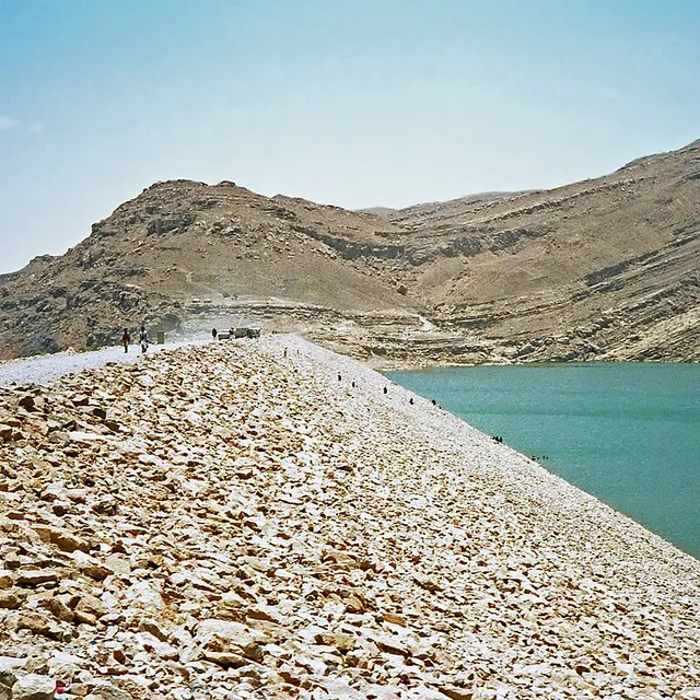
Stone abutments and spillways of the ancient Great Dam of Marib, Yemen

Wikimedia Commons

Continent Record

Oldest Monument in Asia

記念碑UNESCO

Great Dam of Marib

Seyfi Cem Baskin

سد مأرب800 紀元前 – 570 西暦

The monumental earthen and stone dam that irrigated the oasis of Marib, capital of the Sabaean kingdom in ancient Yemen — one of the largest hydraulic works of the ancient Near East, sustaining intensive agriculture for more than a millennium before catastrophic breaches in late antiquity.

211
関心 54

所在地

イエメン

15.40°N · 45.24°E · アジア

Function

Diversion dam feeding northern and southern oasis canals

Peak construction

Major phases c. 8th–6th centuries BCE; continued repair for centuries

Final breach

Catastrophic failure traditionally dated mid–late 6th century CE

UNESCO

Landmarks of Ancient Kingdom of Saba (2023)

Related capital

Marib (ancient Maryab), Sabaean royal centre nearby

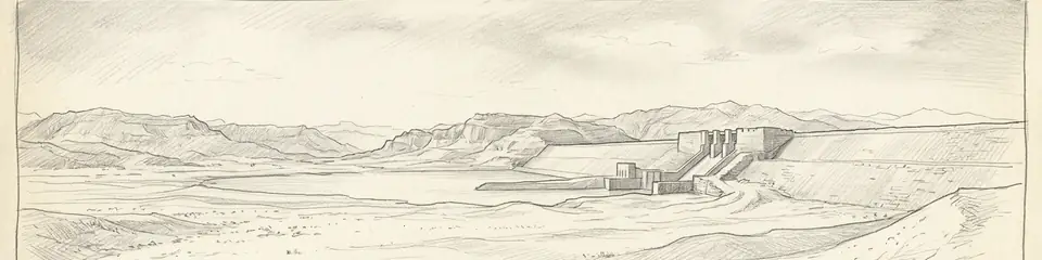
Graphite pencil sketch banner of Great Dam of Marib

“The Marib Dam is the clearest surviving proof that South Arabian wealth rested not only on caravan tolls but on large-scale irrigated agriculture — hydraulic engineering on a par with Mesopotamian canal systems, adapted to monsoon wadi floods.”

所在地

概要

The Great Dam of Marib stands in the Wadi Adhanah (Dhana) in the highlands of eastern Yemen, roughly 170 kilometres east of Sanaʿa, just upstream of the ancient Sabaean capital. Construction of successive earth-and-rubble dams with cut-stone spillways and sluices began by the early first millennium BCE; epigraphic and archaeological evidence places major works between the eighth and sixth centuries BCE, with repeated repairs and enlargements under Sabaean and later rulers.

Unlike many ancient retention dams, Marib was designed primarily for controlled diversion: monsoon floods were slowed, diverted through twin northern and southern canals, and distributed across a vast oasis network capable of supporting tens of thousands of people and the frankincense-and-myrrh agricultural economy of South Arabia. Classical authors and local inscriptions celebrate Marib as a green oasis amid the desert; Quranic tradition later remembered the "flood of the dam" (sayl al-ʿArim) as a civilisational turning point.
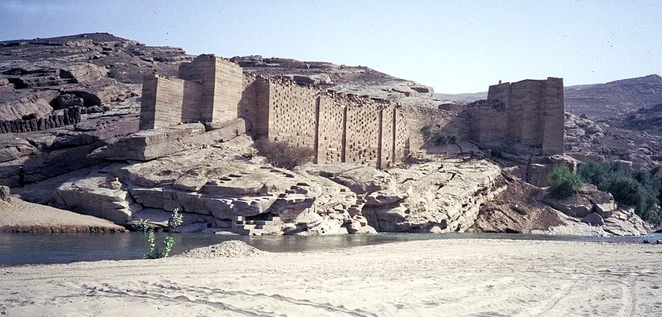
Jemen1988-022 hg
Jemen1988-022 hg | H. Grobe (CC BY-SA 3.0)
"There was for Saba a sign in their dwelling-place: two gardens, on the right and on the left. Eat of the provision of your Lord and be grateful to Him. A good land and a forgiving Lord. But they turned away, so We sent upon them the flood of the dam."
— Qurʾan 34:15–16 (Sūrat Sabaʾ), on the flood of the dam at Marib

The final catastrophic failure is conventionally dated to the mid–late sixth century CE (after centuries of repair episodes), after which the oasis contracted and the political centre of gravity in Yemen shifted toward Himyarite highland capitals. Modern hydraulic works nearby (opened 1986) sit upstream of the ancient ruins; the archaeological remains of sluices, abutments, and canal heads remain among the most important engineering monuments of the ancient Arabian peninsula.
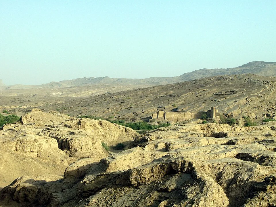
083 stari jez
083 stari jez | Ljuba brank at Slovenian Wikipedia (Public domain)

Marib and its surrounding Sabaean landscape form part of UNESCO's recognition of the Landmarks of the Ancient Kingdom of Saba (inscribed 2023).
重要性

The Marib Dam is the clearest surviving proof that South Arabian wealth rested not only on caravan tolls but on large-scale irrigated agriculture — hydraulic engineering on a par with Mesopotamian canal systems, adapted to monsoon wadi floods. Its eventual failure offers a rare archaeological and literary case of a fragile oasis civilisation unraveling when hydraulic infrastructure collapsed, with consequences remembered in Arabic tradition for centuries.

証拠と解釈

確立された事実と議論が続く事柄を区別する。

確立された事実

2
  • Standing stone sluices, abutments, and canal-head masonry document a diversion-irrigation system on a monumental scale.
  • Sabaean and later South Arabian inscriptions record construction, repair, and ritual dedication of dam works.

学術的推論

1
  • The dam underwrote the demographic and economic base that allowed Marib to remain a major South Arabian capital for centuries.

議論のある解釈

1
  • Exact sequences of rebuilds and the precise date of the terminal breach remain debated among epigraphers and hydrologists.

コミュニティ写真

あなたの体験を共有する

この遺跡を訪れたことがありますか?写真をアップロードして魅力を共有しましょう。

関連記事

このページの引用方法

Atlas Anatolia. (800). Great Dam of Marib. Atlas Anatolia. https://atlasanatolia.com/ja/site/marib-dam

コンテンツはCC BY-SA 4.0ライセンスの下で提供されています — 再利用の際は出典表示が必要です。

グラフ

関連する遺跡やストーリーへのつながり。

出典

  • Queen of Sheba: Treasures from Ancient Yemen — Simpson, St John (2002)
  • UNESCO — Landmarks of the Ancient Kingdom of Sabaリンク

よくある質問

Great Dam of Maribはどこにありますか?

Great Dam of MaribはYemenに位置しています。

Great Dam of Maribの年代はいつ頃ですか?

Great Dam of Maribはおよそ800 紀元前 – 570 西暦のものとされています。

Great Dam of Maribはどの文明に関連していますか?

Great Dam of MaribはSabaean, Himyarite文明に関連しています。

Great Dam of Maribが重要な理由は何ですか?

The Marib Dam is the clearest surviving proof that South Arabian wealth rested not only on caravan tolls but on large-scale irrigated agriculture — hydraulic engineering on a par with Mesopotamian canal systems, adapted to monsoon wadi floods.

Great Dam of Maribはユネスコ世界遺産ですか?

はい — Great Dam of Maribはユネスコ世界遺産に登録されています。