
Aller au contenu
Atlas Anatolia
ActualitésIce Age teeth in Sulawesi push betel-nut use back as far as 25,000 yearsRoman mosaic and Eros head uncovered in the basilica at Pompeiopolis, Kastamonu
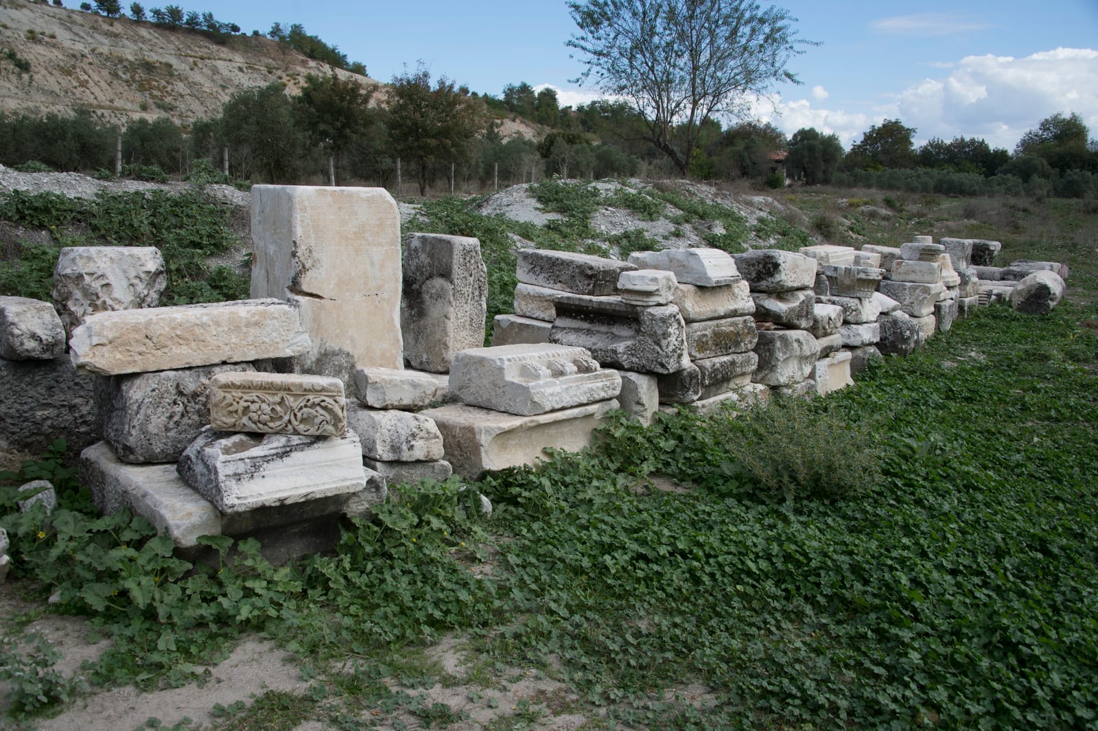
Ancient columns and ruins at Stratonikeia archaeological site

Wikimedia Commons

Cité

Stratonikeia

Seyfi Cem Baskin

Eskihisar300 av. J.-C. – 1300 apr. J.-C.

A remarkably well-preserved Hellenistic and Roman city in Caria, unique for being partially inhabited by the modern village of Eskihisar, creating a living landscape where ancient and contemporary coexist.

312
Intérêt 45

Localisation

Mugla · Aegean · Turquie

37.32°N · 28.06°E · Asie

Founded

c. 270s BCE by Antiochus I Soter

Living Village

Eskihisar village within ancient ruins

Sacred Road

Connected to Lagina sanctuary of Hekate

City Walls

4+ km of well-preserved fortifications

Bouleuterion

A large, well-preserved council house from the Roman Imperial period, with seating for approximately 1,200 people.

Gymnasion

A monumental complex from the 2nd century CE, one of the largest in Anatolia, featuring a palaestra, baths, and lecture halls.

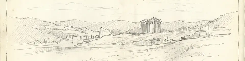
Graphite pencil sketch banner of Stratonikeia

“Stratonikeia offers a rare case study of continuous habitation from antiquity to the present — the modern village within the ancient city creates a living archaeological palimpsest.”

De Wikipédia

Stratonikeia is an ancient Hellenistic and Roman city in Caria, southwestern Turkey, notable for being partially inhabited by the modern village of Eskihisar.

Lire l'article complet sur Wikipédia →

Localisation

Aperçu

Stratonikeia is one of the best-preserved ancient cities in western Turkey, distinguished by the extraordinary circumstance of a modern village — Eskihisar — occupying the ancient city center. Village houses stand among Roman columns, and ancient walls serve as garden boundaries, creating a layered landscape where daily life unfolds amid monumental ruins.

Founded in the 3rd century BCE by the Seleucid king Antiochus I and named after his wife Stratonike, the city was built on the site of an earlier Carian settlement called Idrias or Chrysaoris. It became a major center of the Carian region, administering the important nearby sanctuaries of Lagina (dedicated to Hekate) and Panamara (dedicated to Zeus).

"Stratonicea is a city of Caria, founded by Antiochus Soter, who named it after his wife Stratonice."
— Strabo, Geography (c. 7 BCE - 23 CE)

The city preserves an impressive array of Roman-period monuments, including a large theatre, a bouleuterion (council house), a gymnasium, monumental gates, colonnaded streets, and a well-preserved Serapeum. The city walls, extending over four kilometers, are among the most complete in Caria.

The sanctuary of Lagina, connected to Stratonikeia by a sacred road, was one of the most important cult centers of Hekate in the ancient world. Annual festivals along this sacred route drew pilgrims and reinforced the bond between city and sanctuary.
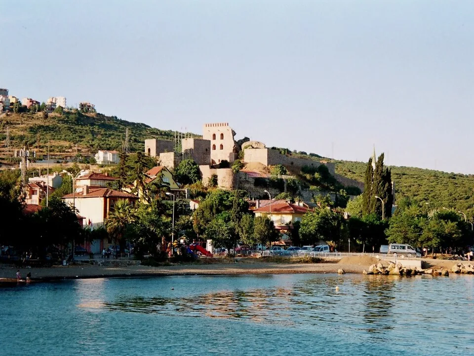
Eskihisar Kalesi
Eskihisar Kalesi | Tansugunal (Public domain)

The city's urban fabric reveals a sophisticated infrastructure, including a colonnaded street (North-South Street) paved with marble and flanked by shops, leading to the monumental city gate. Public life centered on the agora, bouleuterion, and a large Roman Imperial bath-gymnasium complex, showcasing the city's prosperity and civic pride. Stratonikeia was a significant node in regional trade, benefiting from its location on routes connecting the Maeander Valley to the coast, exporting agricultural products like grain and figs. The city's decline began in the 3rd century CE with economic and military crises, but it remained a bishopric into the Byzantine era before gradually shrinking to the village scale seen today.

Pourquoi c'est important

Stratonikeia offers a rare case study of continuous habitation from antiquity to the present — the modern village within the ancient city creates a living archaeological palimpsest. The ongoing process of archaeological excavation amid an inhabited village raises important questions about heritage management and community identity. The city's administration of the Lagina and Panamara sanctuaries illustrates how Hellenistic and Roman cities maintained control over rural religious centers, integrating them into civic identity and political prestige.

Preuves et interprétation

Distinguer ce qui est bien établi de ce qui reste débattu.

Faits bien établis

3
  • Inscriptions identify the city as founded by Antiochus I and named after his wife Stratonike, on the site of earlier Carian settlement Idrias.
  • The sacred road connecting Stratonikeia to the sanctuary of Hekate at Lagina has been archaeologically documented and partially excavated.
  • The Serapeum at Stratonikeia preserves one of the best examples of an Egyptian cult building in western Anatolia.

Inférences savantes

1
  • The pre-Hellenistic Carian settlement at the site likely influenced the religious geography, with Lagina and Panamara sanctuaries predating the Greek refoundation.

Interprétations débattues

2
  • Whether the village relocation achieves appropriate balance between archaeological research and community heritage rights remains debated.
  • The identification of the earlier Carian name — Idrias vs. Chrysaoris — and the exact boundaries of the pre-Hellenistic settlement are still discussed.

Découverte et fouilles

1977–2000

First systematic excavations

Dirigé par Yusuf Boysal

Yusuf Boysal and later Mehmet Cetin Sahin began long-term excavations revealing the city center, theatre, and bouleuterion.

2008–2023

Pamukkale University excavations

Dirigé par Bilal Sogut

Bilal Sogut of Pamukkale University expanded excavations across the city and sacred road to Lagina.

2010

Bouleuterion and Gymnasion Excavations

Dirigé par Pamukkale University

Systematic excavations of the city's main civic and educational complexes began under the direction of Prof. Dr. Bilal Sogut, revealing their monumental scale and architectural details.

2015

Village relocation program

Turkish authorities began relocating Eskihisar residents to a new village to enable comprehensive archaeological research.

Photos de la communauté

Partagez votre expérience

Avez-vous visité ce site ? Téléchargez vos photos pour aider les autres à le découvrir.

Comment citer cette page

Atlas Anatolia. (300). Stratonikeia. Atlas Anatolia. https://atlasanatolia.com/fr/site/stratonikeia

Contenu sous licence CC BY-SA 4.0 — attribution requise en cas de réutilisation.

Sources

  • Stratonikeia and its Territory — Mehmet Cetin Sahin (2008)
  • Caria and Crete in Antiquity — Simon Hornblower (2011)
  • Wikipedia — Stratonikeia (Caria)Lien

Questions fréquentes

Où se trouve Stratonikeia ?

Stratonikeia est situé à/en Mugla, Aegean, Türkiye.

De quand date Stratonikeia ?

Stratonikeia remonte approximativement à 300 av. J.-C. – 1300 apr. J.-C..

Quelles civilisations sont associées à Stratonikeia ?

Stratonikeia est associé à la civilisation Carian, Greek, Roman, Byzantine, Seljuk.

Pourquoi Stratonikeia est-il important ?

Stratonikeia offers a rare case study of continuous habitation from antiquity to the present — the modern village within the ancient city creates a living archaeological palimpsest.

Stratonikeia est-il inscrit au patrimoine mondial de l'UNESCO ?

Stratonikeia n'est pas actuellement inscrit sur la liste du patrimoine mondial de l'UNESCO.