
Aller au contenu
Atlas Anatolia
ActualitésIce Age teeth in Sulawesi push betel-nut use back as far as 25,000 yearsRoman mosaic and Eros head uncovered in the basilica at Pompeiopolis, Kastamonu
Piazzale delle Corporazioni mosaics at Ostia Antica

Wikimedia Commons (CC BY-SA 2.0)

Country Record

Earliest Known Site in Italy

CitéEn vedette

Ostia Antica

Seyfi Cem Baskin

600 av. J.-C. – 500 apr. J.-C.

Rome’s river-mouth harbour city — streets of brick apartments, baths, and guild offices frozen after the Tiber silted — is the best place to walk everyday imperial urbanism outside Pompeii.

21
Intérêt 68

Localisation

Italie

41.76°N · 12.29°E · Europe

Role

Harbour city of ancient Rome

Peak

1st–2nd centuries CE

Signature space

Piazzale delle Corporazioni

Decline

Silting + shift to Portus

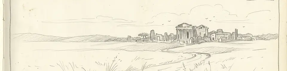
Graphite pencil sketch banner of Ostia Antica

“Ostia preserves ordinary Roman streets, shops, and apartments at a scale Pompeii cannot match for harbour commerce.”

Localisation

Aperçu

Ostia Antica lies at the ancient mouth of the Tiber, about 25 km southwest of Rome. Tradition ties its foundation to Ancus Marcius in the regal period; the archaeologically visible city expands from a Republican castrum into a dense Imperial port town of warehouses (horrea), multi-storey apartments (insulae), mithraea, synagogues, and the famous Piazzale delle Corporazioni with mosaic emblems of trading guilds. Grain, oil, and marble moved through Ostia and later Portus to feed the capital.

As the coastline prograded and Portus took over shipping, Ostia declined; malaria and silting left standing brick walls that 19th–20th century excavations opened as an open-air museum. The site remains one of the richest laboratories for Roman domestic and commercial architecture. Pair with Pompeii and the Colosseum for complementary views of Roman urban life and spectacle.

Pourquoi c'est important

Ostia preserves ordinary Roman streets, shops, and apartments at a scale Pompeii cannot match for harbour commerce. It is essential for understanding how Rome fed itself and how guilds, religions, and migrants organised life at the empire’s logistical throat.

Preuves et interprétation

Distinguer ce qui est bien établi de ce qui reste débattu.

Faits bien établis

2
  • Inscriptions, brick stamps, and standing insulae document continuous Imperial expansion of harbour, warehouses, and housing.
  • Guild mosaics on the Piazzale delle Corporazioni name trading associations tied to Mediterranean commerce.

Inférences savantes

1
  • Malaria and coastal progradation accelerated late antique abandonment after Portus captured deep-water traffic.

Photos de la communauté

Partagez votre expérience

Avez-vous visité ce site ? Téléchargez vos photos pour aider les autres à le découvrir.

Comment citer cette page

Atlas Anatolia. (600). Ostia Antica. Atlas Anatolia. https://atlasanatolia.com/fr/site/ostia-antica

Contenu sous licence CC BY-SA 4.0 — attribution requise en cas de réutilisation.

Sources

  • Roman Ostia — Meiggs, Russell (1973)
  • Ostia: Aspects of Roman City Life — Hermansen, Gustav (1981)

Questions fréquentes

Où se trouve Ostia Antica ?

Ostia Antica est situé à/en Italy.

De quand date Ostia Antica ?

Ostia Antica remonte approximativement à 600 av. J.-C. – 500 apr. J.-C..

Quelles civilisations sont associées à Ostia Antica ?

Ostia Antica est associé à la civilisation Roman.

Pourquoi Ostia Antica est-il important ?

Ostia preserves ordinary Roman streets, shops, and apartments at a scale Pompeii cannot match for harbour commerce.

Ostia Antica est-il inscrit au patrimoine mondial de l'UNESCO ?

Ostia Antica n'est pas actuellement inscrit sur la liste du patrimoine mondial de l'UNESCO.