
Saltar al contenido
Atlas Anatolia
NoticiasIce Age teeth in Sulawesi push betel-nut use back as far as 25,000 yearsRoman mosaic and Eros head uncovered in the basilica at Pompeiopolis, Kastamonu
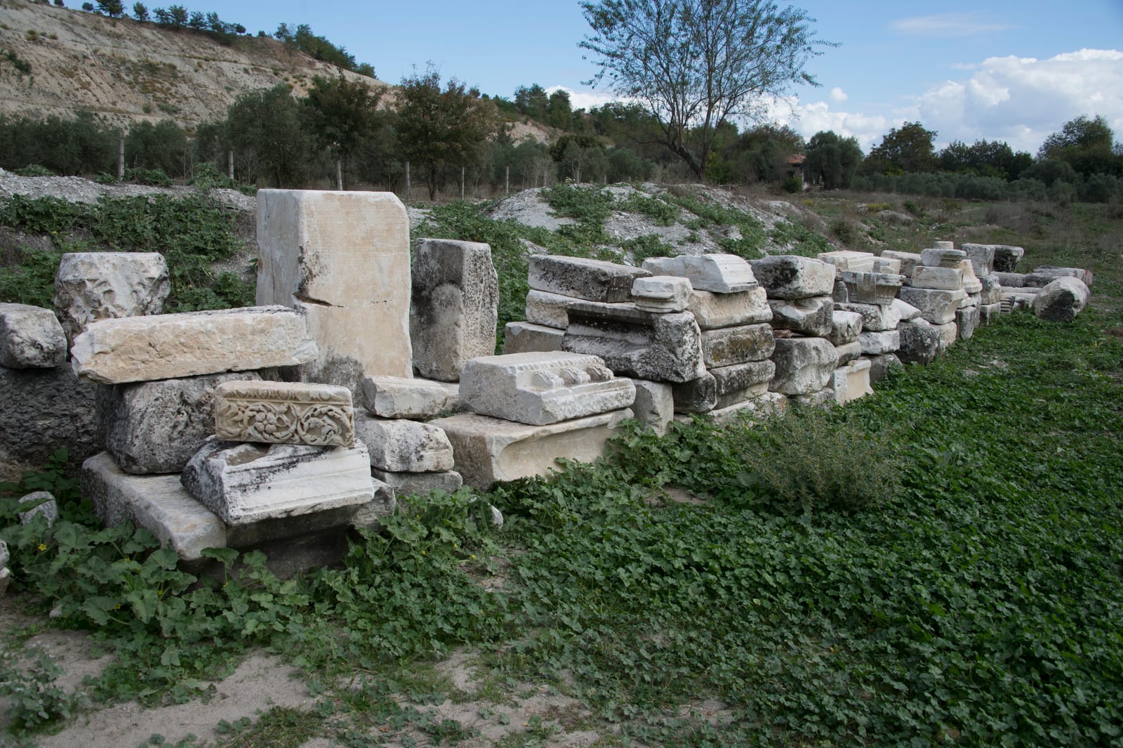
Ancient columns and ruins at Stratonikeia archaeological site

Wikimedia Commons

Ciudad

Stratonikeia

Seyfi Cem Baskin

Eskihisar300 a. C. – 1300 d. C.

A remarkably well-preserved Hellenistic and Roman city in Caria, unique for being partially inhabited by the modern village of Eskihisar, creating a living landscape where ancient and contemporary coexist.

312
Interés 45

Ubicación

Mugla · Aegean · Turquía

37.32°N · 28.06°E · Asia

Founded

c. 270s BCE by Antiochus I Soter

Living Village

Eskihisar village within ancient ruins

Sacred Road

Connected to Lagina sanctuary of Hekate

City Walls

4+ km of well-preserved fortifications

Bouleuterion

A large, well-preserved council house from the Roman Imperial period, with seating for approximately 1,200 people.

Gymnasion

A monumental complex from the 2nd century CE, one of the largest in Anatolia, featuring a palaestra, baths, and lecture halls.

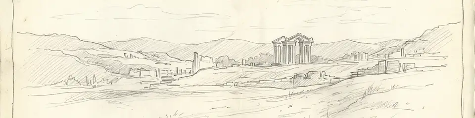
Graphite pencil sketch banner of Stratonikeia

Stratonikeia offers a rare case study of continuous habitation from antiquity to the present — the modern village within the ancient city creates a living archaeological palimpsest.”

De Wikipedia

Stratonikeia is an ancient Hellenistic and Roman city in Caria, southwestern Turkey, notable for being partially inhabited by the modern village of Eskihisar.

Leer el artículo completo en Wikipedia

Ubicación

Resumen

Stratonikeia is one of the best-preserved ancient cities in western Turkey, distinguished by the extraordinary circumstance of a modern village — Eskihisar — occupying the ancient city center. Village houses stand among Roman columns, and ancient walls serve as garden boundaries, creating a layered landscape where daily life unfolds amid monumental ruins.

Founded in the 3rd century BCE by the Seleucid king Antiochus I and named after his wife Stratonike, the city was built on the site of an earlier Carian settlement called Idrias or Chrysaoris. It became a major center of the Carian region, administering the important nearby sanctuaries of Lagina (dedicated to Hekate) and Panamara (dedicated to Zeus).

"Stratonicea is a city of Caria, founded by Antiochus Soter, who named it after his wife Stratonice."
— Strabo, Geography (c. 7 BCE - 23 CE)

The city preserves an impressive array of Roman-period monuments, including a large theatre, a bouleuterion (council house), a gymnasium, monumental gates, colonnaded streets, and a well-preserved Serapeum. The city walls, extending over four kilometers, are among the most complete in Caria.

The sanctuary of Lagina, connected to Stratonikeia by a sacred road, was one of the most important cult centers of Hekate in the ancient world. Annual festivals along this sacred route drew pilgrims and reinforced the bond between city and sanctuary.
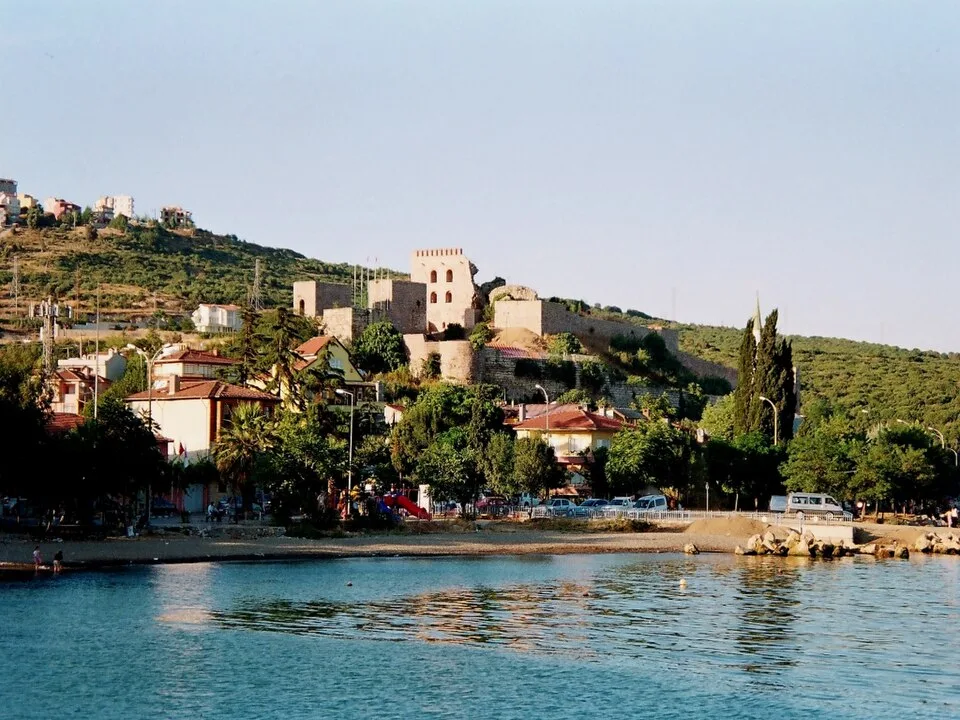
Eskihisar Kalesi
Eskihisar Kalesi | Tansugunal (Public domain)

The city's urban fabric reveals a sophisticated infrastructure, including a colonnaded street (North-South Street) paved with marble and flanked by shops, leading to the monumental city gate. Public life centered on the agora, bouleuterion, and a large Roman Imperial bath-gymnasium complex, showcasing the city's prosperity and civic pride. Stratonikeia was a significant node in regional trade, benefiting from its location on routes connecting the Maeander Valley to the coast, exporting agricultural products like grain and figs. The city's decline began in the 3rd century CE with economic and military crises, but it remained a bishopric into the Byzantine era before gradually shrinking to the village scale seen today.

Por qué es importante

Stratonikeia offers a rare case study of continuous habitation from antiquity to the present — the modern village within the ancient city creates a living archaeological palimpsest. The ongoing process of archaeological excavation amid an inhabited village raises important questions about heritage management and community identity. The city's administration of the Lagina and Panamara sanctuaries illustrates how Hellenistic and Roman cities maintained control over rural religious centers, integrating them into civic identity and political prestige.

Evidencia e interpretación

Distinguir lo bien establecido de lo que sigue en debate.

Hechos bien establecidos

3
  • Inscriptions identify the city as founded by Antiochus I and named after his wife Stratonike, on the site of earlier Carian settlement Idrias.
  • The sacred road connecting Stratonikeia to the sanctuary of Hekate at Lagina has been archaeologically documented and partially excavated.
  • The Serapeum at Stratonikeia preserves one of the best examples of an Egyptian cult building in western Anatolia.

Inferencias académicas

1
  • The pre-Hellenistic Carian settlement at the site likely influenced the religious geography, with Lagina and Panamara sanctuaries predating the Greek refoundation.

Interpretaciones debatidas

2
  • Whether the village relocation achieves appropriate balance between archaeological research and community heritage rights remains debated.
  • The identification of the earlier Carian name — Idrias vs. Chrysaoris — and the exact boundaries of the pre-Hellenistic settlement are still discussed.

Descubrimiento y excavación

1977–2000

First systematic excavations

Dirigido por Yusuf Boysal

Yusuf Boysal and later Mehmet Cetin Sahin began long-term excavations revealing the city center, theatre, and bouleuterion.

2008–2023

Pamukkale University excavations

Dirigido por Bilal Sogut

Bilal Sogut of Pamukkale University expanded excavations across the city and sacred road to Lagina.

2010

Bouleuterion and Gymnasion Excavations

Dirigido por Pamukkale University

Systematic excavations of the city's main civic and educational complexes began under the direction of Prof. Dr. Bilal Sogut, revealing their monumental scale and architectural details.

2015

Village relocation program

Turkish authorities began relocating Eskihisar residents to a new village to enable comprehensive archaeological research.

Fotos de la comunidad

Comparte tu experiencia

¿Has visitado este sitio? Sube tus fotos para ayudar a otros a descubrirlo.

Cómo citar esta página

Atlas Anatolia. (300). Stratonikeia. Atlas Anatolia. https://atlasanatolia.com/es/site/stratonikeia

Contenido bajo licencia CC BY-SA 4.0 — se requiere atribución al reutilizar.

Fuentes

  • Stratonikeia and its TerritoryMehmet Cetin Sahin (2008)
  • Caria and Crete in AntiquitySimon Hornblower (2011)
  • Wikipedia — Stratonikeia (Caria)Enlace

Preguntas frecuentes

¿Dónde se encuentra Stratonikeia?

Stratonikeia se encuentra en Mugla, Aegean, Türkiye.

¿Qué antigüedad tiene Stratonikeia?

Stratonikeia se fecha aproximadamente en 300 a. C. – 1300 d. C..

¿Qué civilizaciones se relacionan con Stratonikeia?

Stratonikeia se relaciona con Carian, Greek, Roman, Byzantine, Seljuk.

¿Por qué es importante Stratonikeia?

Stratonikeia offers a rare case study of continuous habitation from antiquity to the present — the modern village within the ancient city creates a living archaeological palimpsest.

¿Stratonikeia es Patrimonio Mundial de la UNESCO?

Stratonikeia no está inscrito actualmente en la Lista del Patrimonio Mundial de la UNESCO.