Skip to content
Atlas AnatoliaAtlas Anatolia
Piazzale delle Corporazioni mosaics at Ostia Antica

Wikimedia Commons (CC BY-SA 2.0)

Country Record

Earliest Known Site in Italy

CityFeatured

Ostia Antica

600 BCE – 500 CE

Rome’s river-mouth harbour city — streets of brick apartments, baths, and guild offices frozen after the Tiber silted — is the best place to walk everyday imperial urbanism outside Pompeii.

21
Interest 70

Location

Italy

41.76°N · 12.29°E · Europe

Role

Harbour city of ancient Rome

Peak

1st–2nd centuries CE

Signature space

Piazzale delle Corporazioni

Decline

Silting + shift to Portus

Ostia preserves ordinary Roman streets, shops, and apartments at a scale Pompeii cannot match for harbour commerce.”

Location

Overview

Ostia Antica lies at the ancient mouth of the Tiber, about 25 km southwest of Rome. Tradition ties its foundation to Ancus Marcius in the regal period; the archaeologically visible city expands from a Republican castrum into a dense Imperial port town of warehouses (horrea), multi-storey apartments (insulae), mithraea, synagogues, and the famous Piazzale delle Corporazioni with mosaic emblems of trading guilds. Grain, oil, and marble moved through Ostia and later Portus to feed the capital.

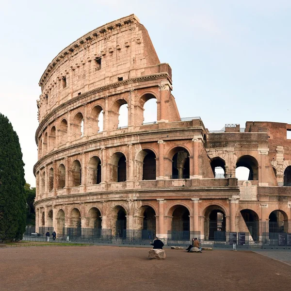
As the coastline prograded and Portus took over shipping, Ostia declined; malaria and silting left standing brick walls that 19th–20th century excavations opened as an open-air museum. The site remains one of the richest laboratories for Roman domestic and commercial architecture. Pair with Pompeii and the Colosseum for complementary views of Roman urban life and spectacle.
Why It Matters

Ostia preserves ordinary Roman streets, shops, and apartments at a scale Pompeii cannot match for harbour commerce. It is essential for understanding how Rome fed itself and how guilds, religions, and migrants organised life at the empire’s logistical throat.

Evidence & Interpretation

Distinguishing what is well-established from what remains debated.

Well-Established Facts

2
  • Inscriptions, brick stamps, and standing insulae document continuous Imperial expansion of harbour, warehouses, and housing.
  • Guild mosaics on the Piazzale delle Corporazioni name trading associations tied to Mediterranean commerce.

Scholarly Inferences

1
  • Malaria and coastal progradation accelerated late antique abandonment after Portus captured deep-water traffic.

More Photos

Community Photos

Share your experience

Have you visited this site? Upload your photos to help others discover it.

How to cite this page

Atlas Anatolia. (600). Ostia Antica. Atlas Anatolia. https://atlasanatolia.com/site/ostia-antica

Content licensed CC BY-SA 4.0 — attribution required when reusing.

Sources

  • Roman OstiaMeiggs, Russell (1973)
  • Ostia: Aspects of Roman City LifeHermansen, Gustav (1981)

Frequently Asked Questions

Where is Ostia Antica located?

Ostia Antica is located in Italy.

How old is Ostia Antica?

Ostia Antica dates to approximately 600 BCE – 500 CE.

Which civilizations are associated with Ostia Antica?

Ostia Antica is associated with the Roman.

Why is Ostia Antica important?

Ostia preserves ordinary Roman streets, shops, and apartments at a scale Pompeii cannot match for harbour commerce.

Is Ostia Antica a UNESCO World Heritage Site?

Ostia Antica is not currently inscribed on the UNESCO World Heritage List.

Stay in the loop

One email a month: 1 featured story + 3 archaeological sites. Unsubscribe anytime. We never sell your email.

Atlas AnatoliaAtlas Anatolia

An interactive atlas of the ancient world. Explore archaeological sites, civilizations, monuments, and stories from every continent.

© 2026 Atlas Anatolia. Educational content under CC BY-SA 4.0. Photos credited to their authors (Wikimedia Commons and other open licenses).

Map data © OpenStreetMap contributors